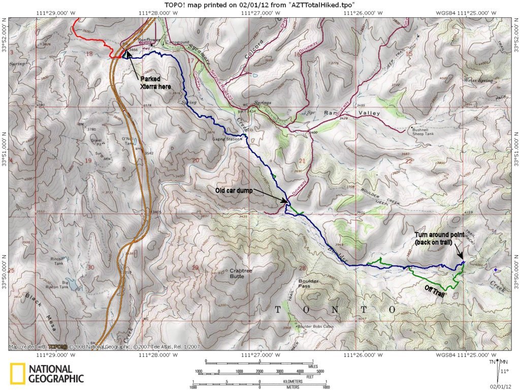

The hike GPS track on a USGS quad topo map. The blue track is the hike back out the trail from the turn around point; the green track is the hike from the Beeline Hwy. 87 in to the turn around point showing were it differed from the hike out. (In most places the green track is under the blue track.)
Photo album created with Web Album Generator