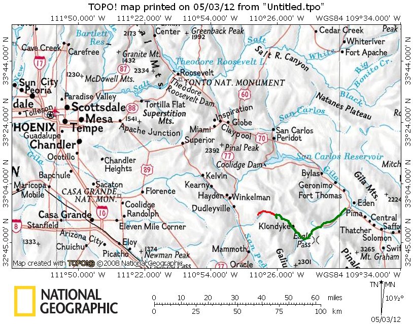

The location of this hike. We dropped a car at the east trailhead on Monday (4/30/12) so that on Tuesday (5/1/12) we could hike from the west trailhead to the east trailhead and would have a way back to Mesa/Phoenix. The green line is the GPS track of the 45 mile dirt road that we drove off US 70 from just west of Safford, AZ. on Monday. The red line is the GPS track for the Tuesday hike going from west to east - we were dropped off at the west trailhead on early Tuesday morning.
Photo album created with Web Album Generator