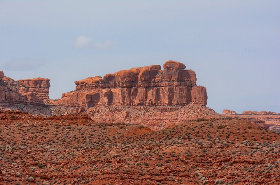
We drove through "Valley of the Gods" on the trip up. This area is a great place to let your pareidolia play out.
1 Bears Ears National Monument is in the southeast corner of Utah (see inset). As orginally established at the request of five Native American governments from existing federal public lands by President Obama (O'Bears Ears NM) under the Antiquities Act of 1906, it spans 1.3 million acres comprised of both the green and red areas on this map. President Trump, for reasons yet to be made public, has issued a Presidential Proclamation that would reduce this National Monument by over 1.1 million acres (85%) to the two green areas on this map (T'Bears Ears NM). This action is currently being challenged in the courts. Map source here (if you take this link, use the "Back" button in your browser to return to this photo album).
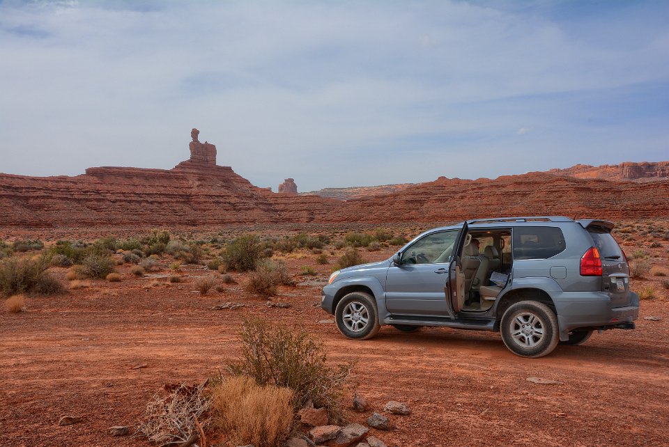
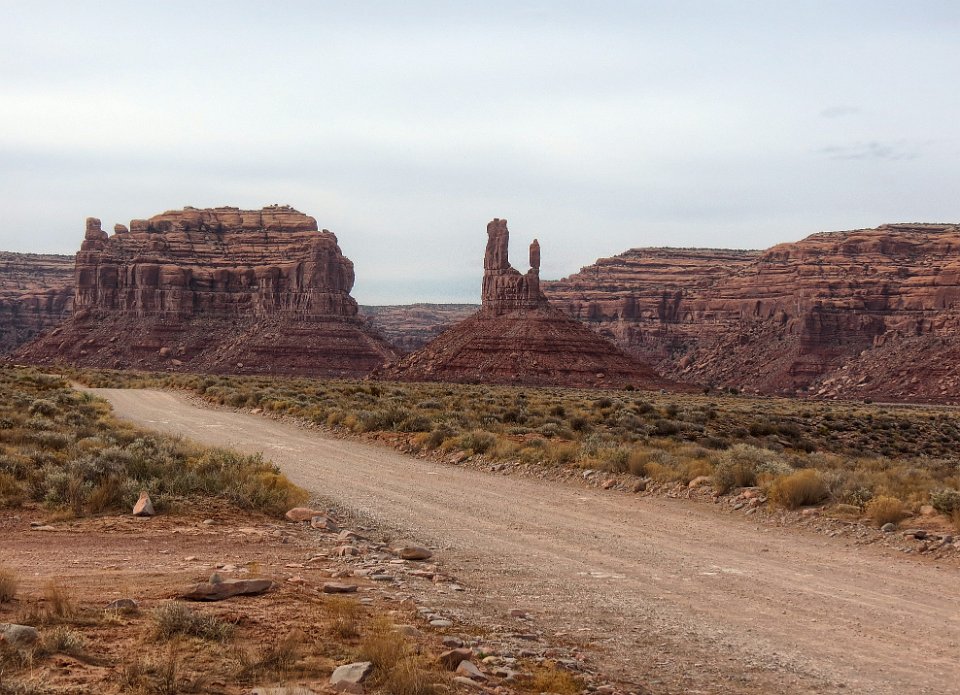
2 On the drive up to Bears Ears, we took the 17 mile "Valley of the Gods Loop" loop clockwise from where it intersects Utah 261 to where it intersects U.S. 163.
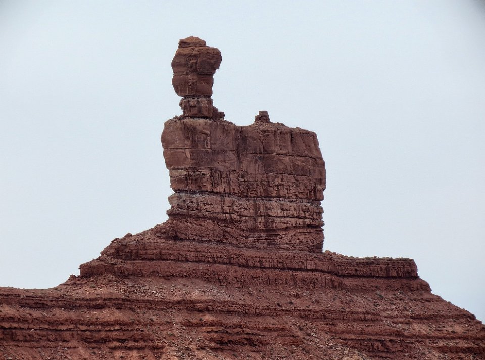
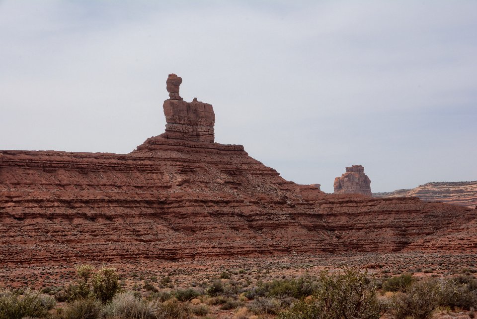
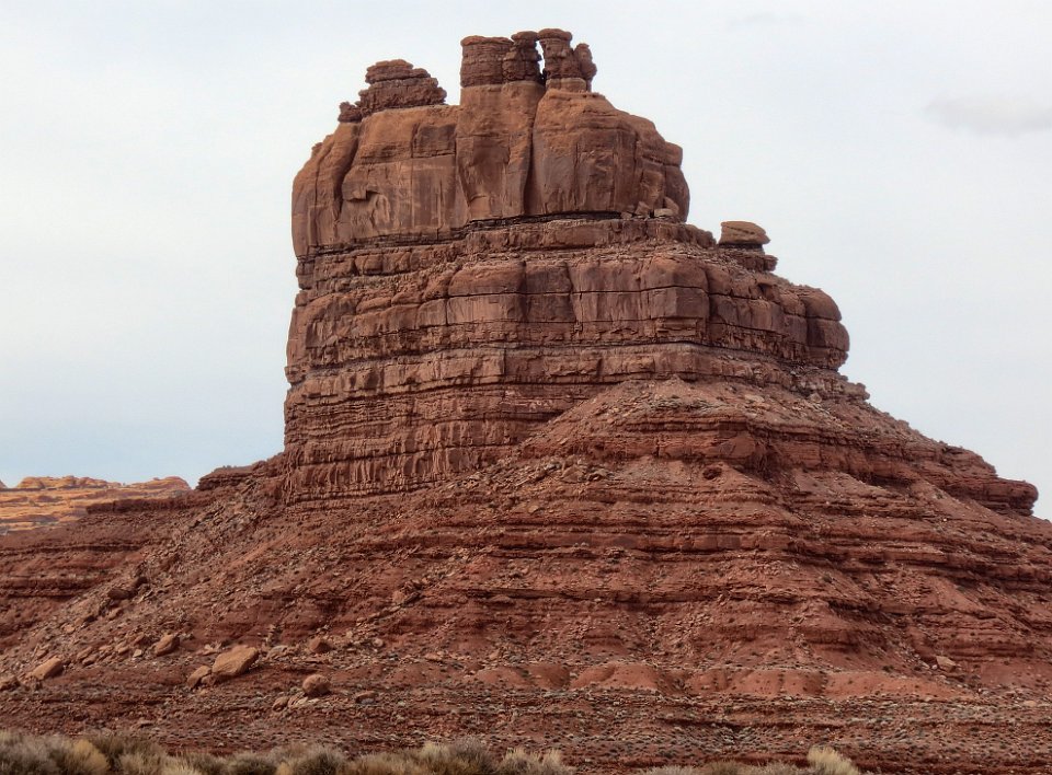
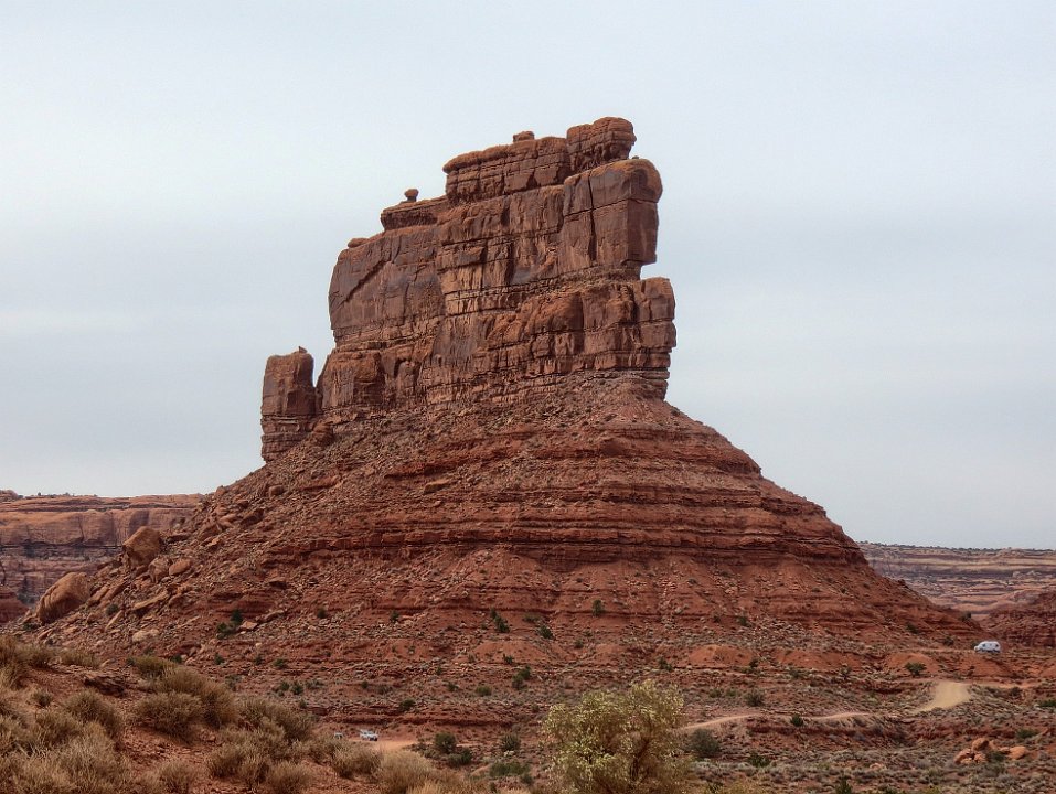
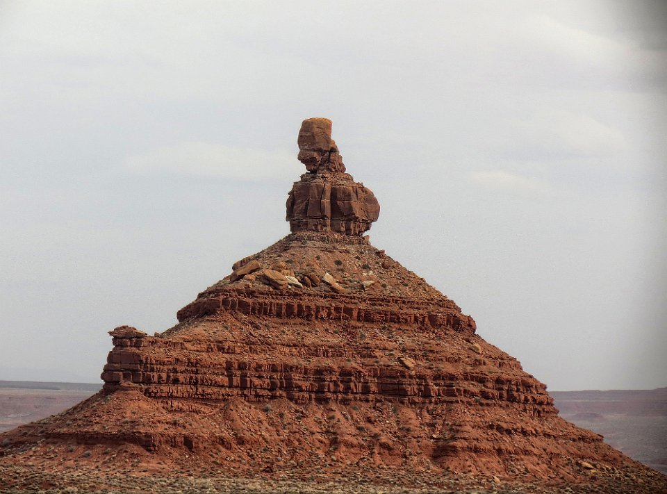
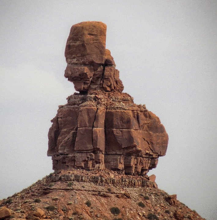
3 Has to be "Balanced Rock."
4 Close up. Turns out, this name "Balanced Rock" is not unique, as there are many "balanced rock" formations throughout the west, if not the world.
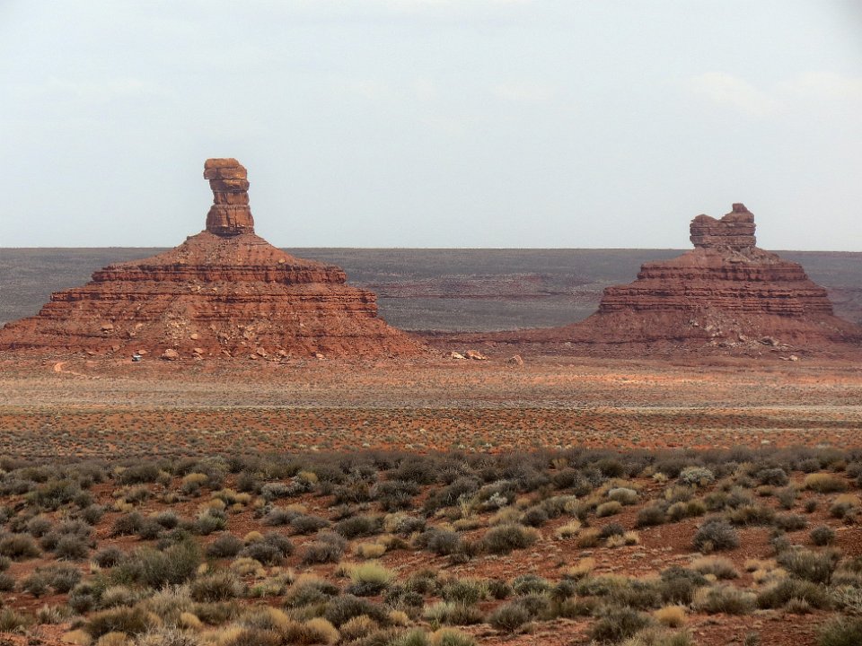
5 Is that "Lady in the Bathtub" on the butte over to the right?
6 Has to be "Lady in the Bathtub." Can't zoom in any further without "X" rating this picture.
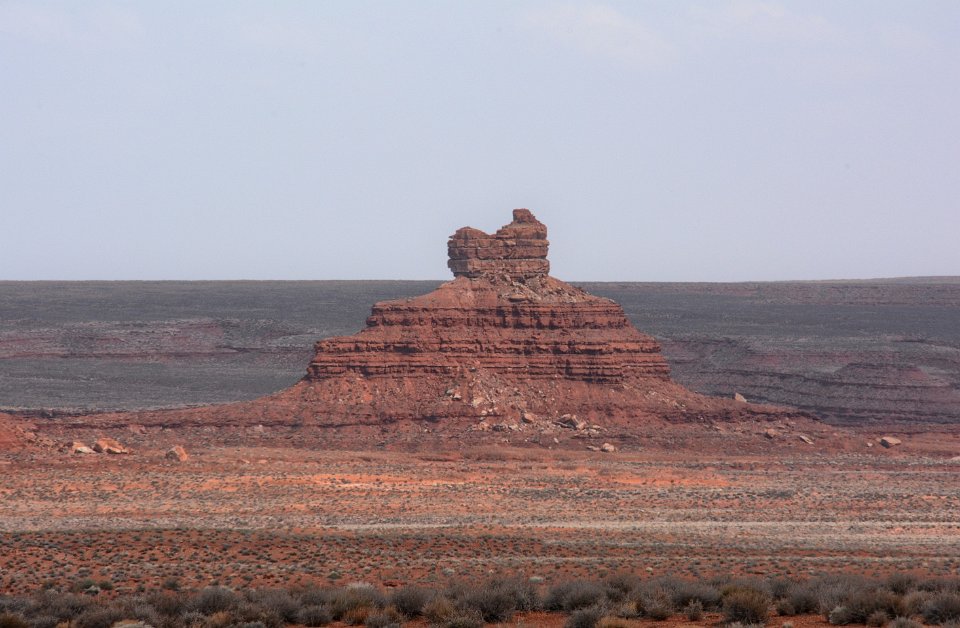
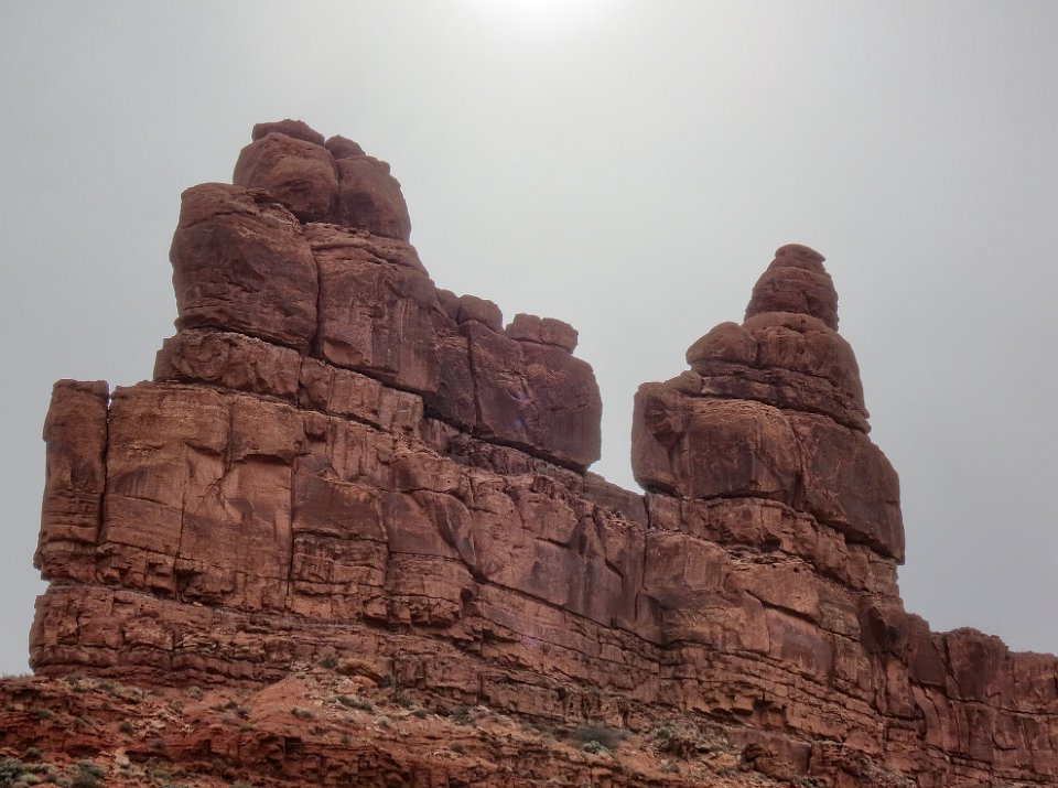
7 Not identified, but what do you suggest? "Mummy?" "Sleeping beautiful?" .......
8 We're looking for "Rudolph and Santa Claus." We don't think this is it
9 Don't think so.
10
11 "Setting Hen Butte"?
12 Or is it just this part, "Sitting Hen Butte?" Does it matter?
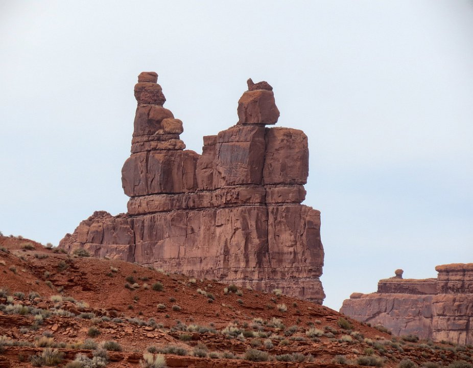
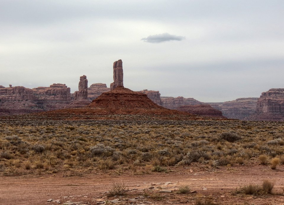
13 This is probably "Ruldolf and Santa Claus," although it looks more like Donkey and his "Man Servant."
14
15 Resembles those statures of pioneer women that used to be found along old US 40, "National Highway."
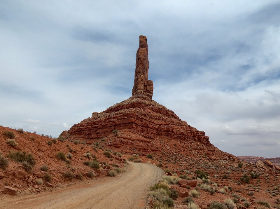
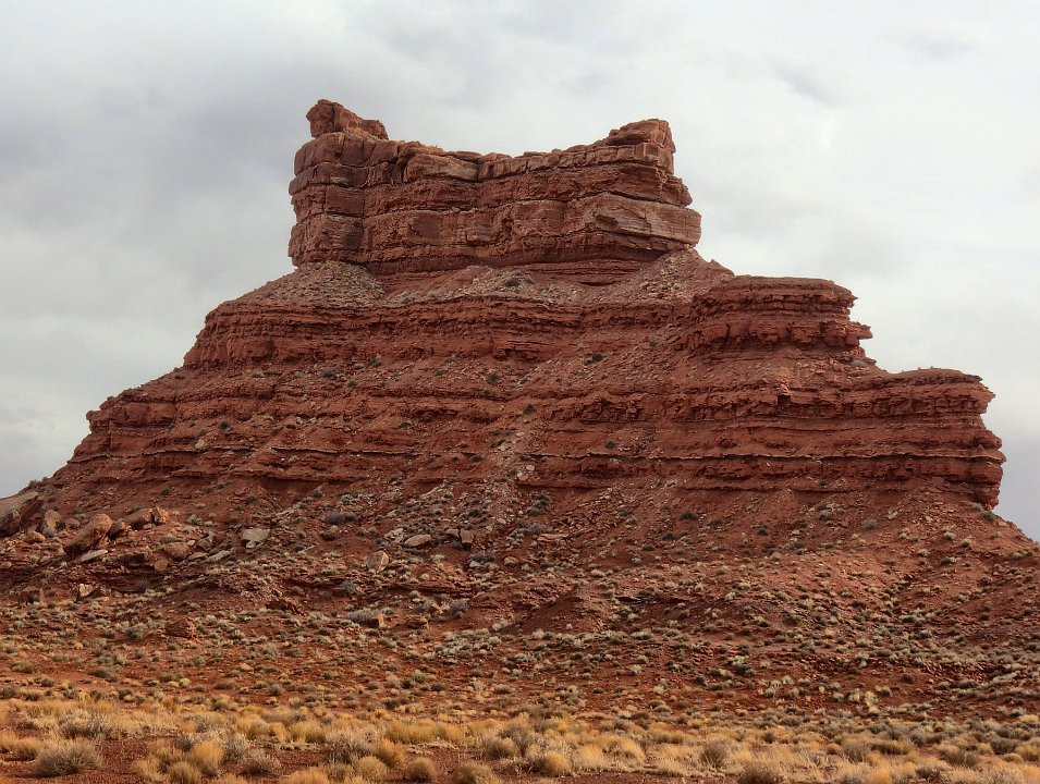
16 "Fortress Rock"
17
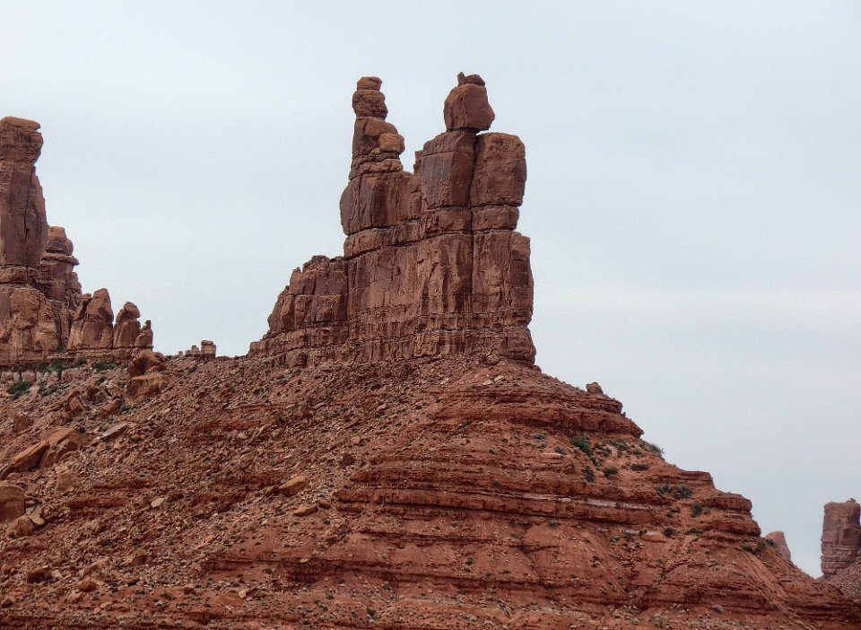
18 The other side of "Rudolph and Santa Claus."
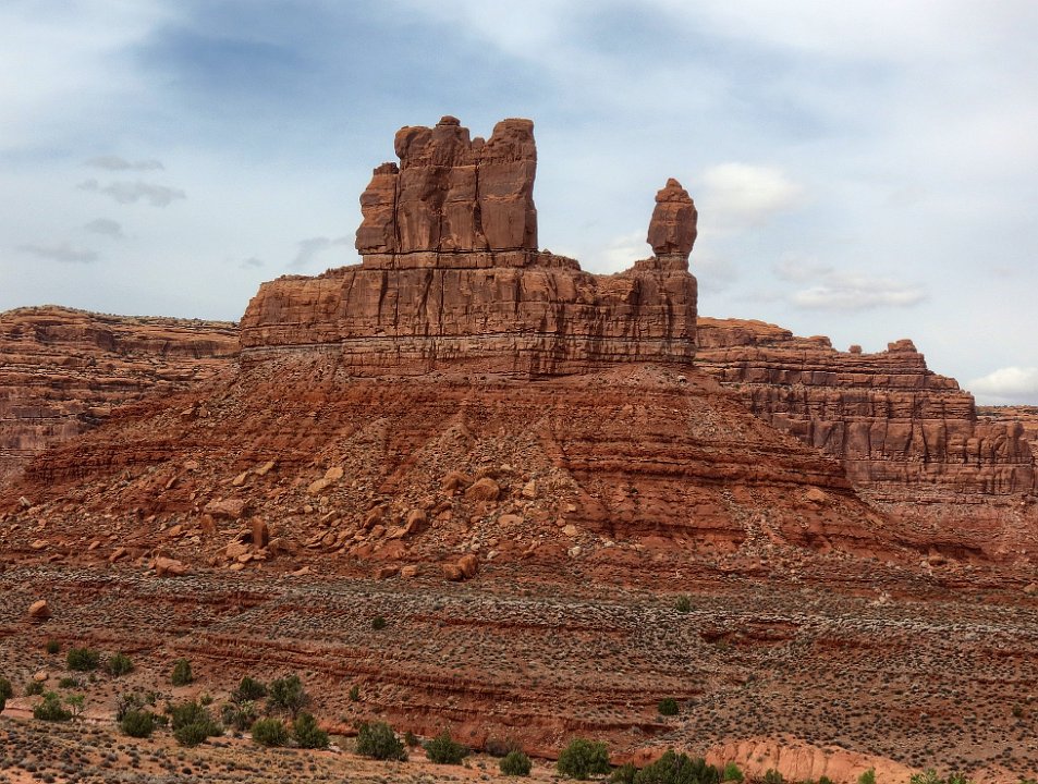
19 "Battleship Rock," frontal view.
20 "de Gaulle and His Troops"
21 "Rooster Butte"
22 Close up of "Rooster Butte."
23
24
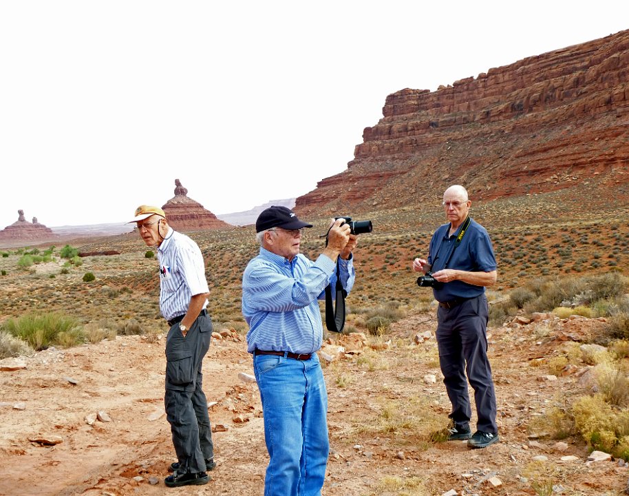
25 3/4s of the explorers - the 4th is taking the picture
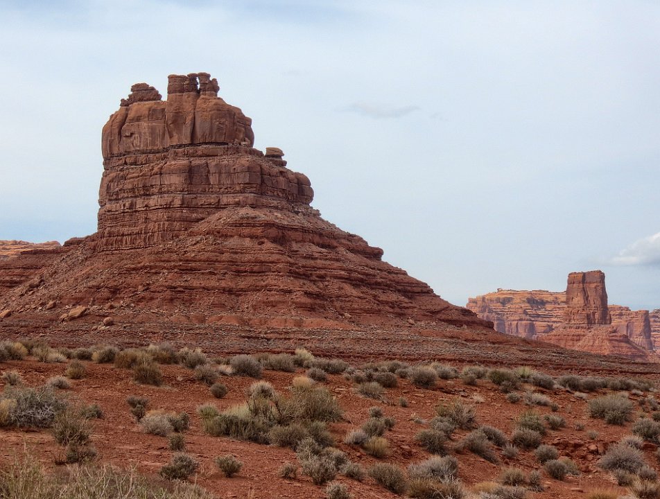
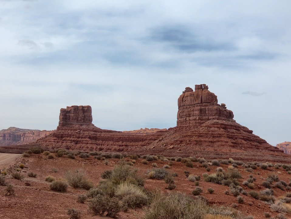
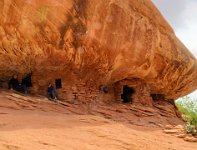
26 Should have a name but couldn't find any reference to any. You name it.