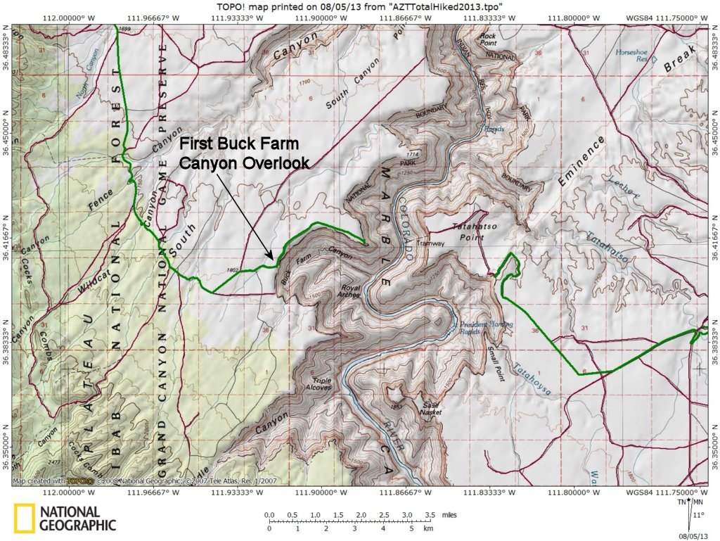

The track on a USGS quad topo map. The green line to the left of Marble Canyon is the road we took to the Buck Farm Canyon Overlooks; the green track to the right of Marble Canyon is the road we took to the Eminence Break Overlook the next day.
Photo album created with Web Album Generator