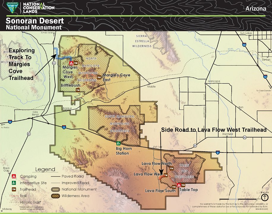
Sonoran Desert National Monument - Finding Some Trailheads
November 21, 2017; Don & BobF Having Fun Exploring in the Xterror Along Interstate 8, between Maricopa and Gila Bend, AZ
1 BobF and I set out to explore SOME of the 776 sq mi of this National Monument, established by Pres. Clinton in 2001 under the Antiquities Act. Suzanne and I had hiked the Table Top Trail several years ago, but Bob had never been there. Our first goal was to find Lava Flow West Trailhead and then hike some of the Lava Trail. It turned into a great and fun day.
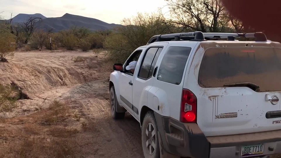
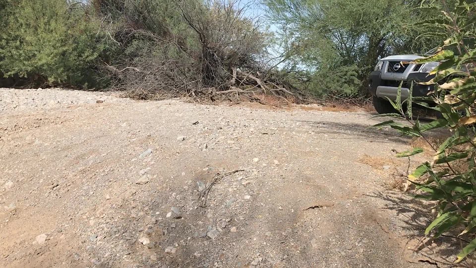
2 Turns out, after turning off Interstate 8 and then off Vekol Road we discovered the road to where we wanted to go went through some deep washes - deeper than the Xterror was high. This video makes the first one look easier than it was.
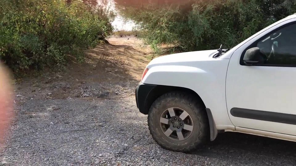
3 We had several washes in a row. I drove in and Bob drove out. I should have engaged the lockers here.
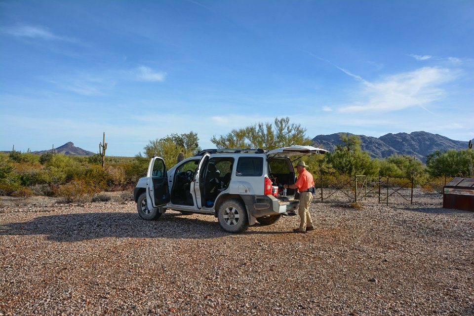
4 We made it to the trailhead & Don get's ready to hike. Bob's photo
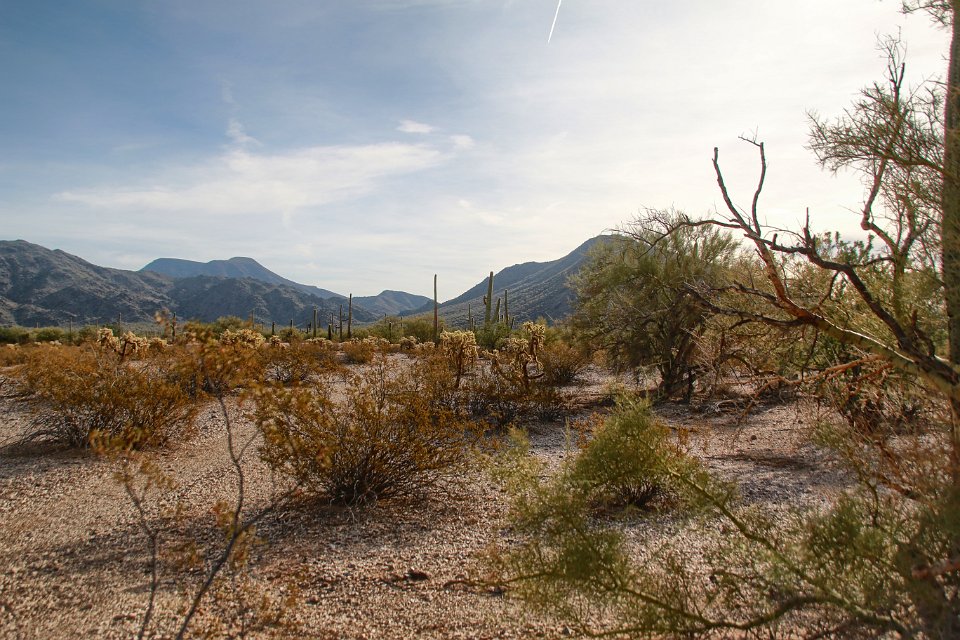
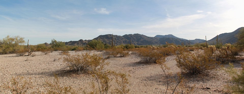
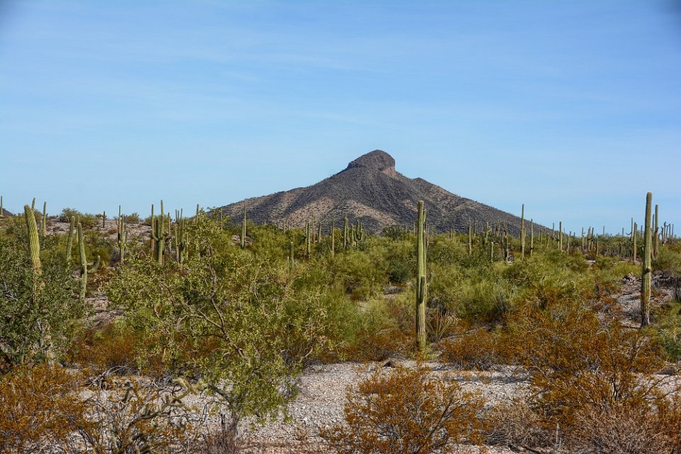
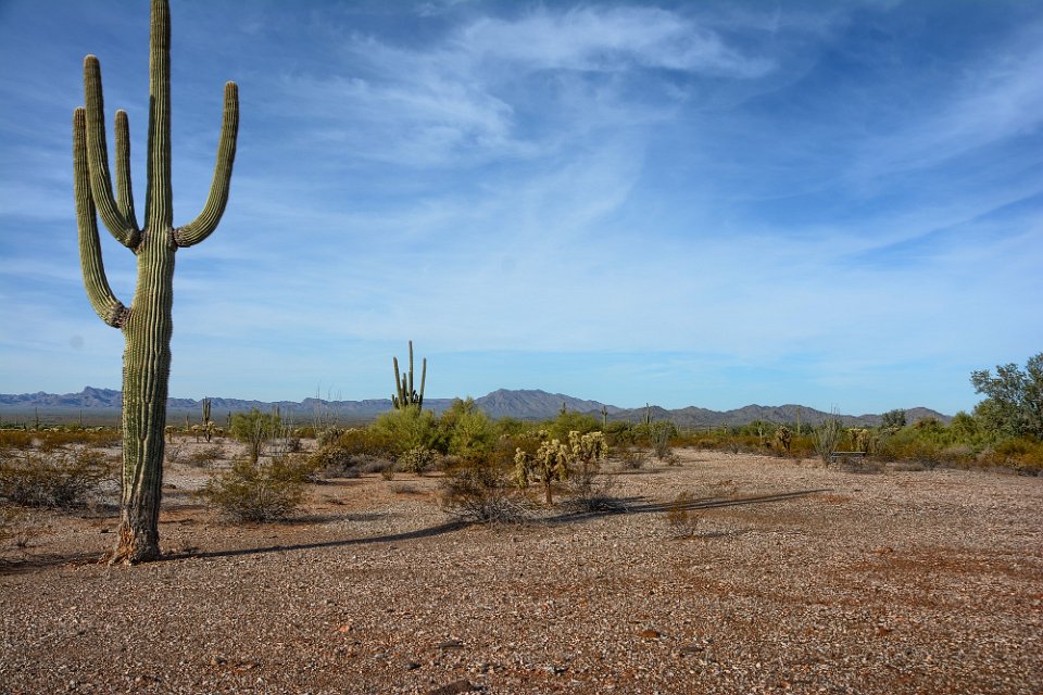
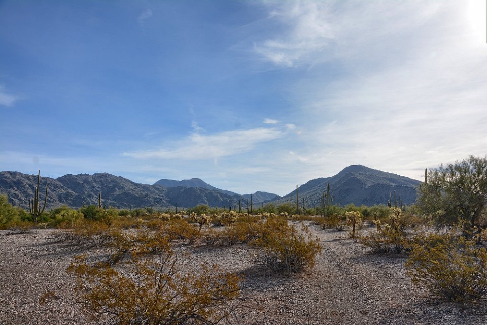
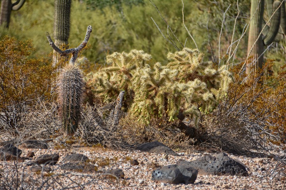
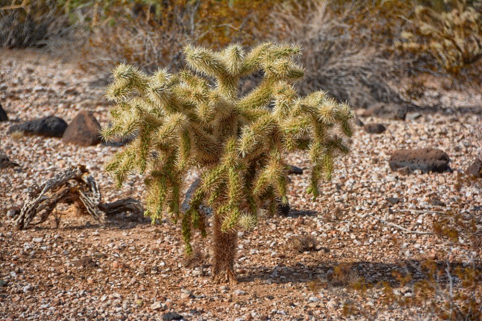
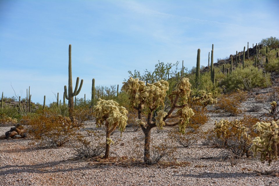
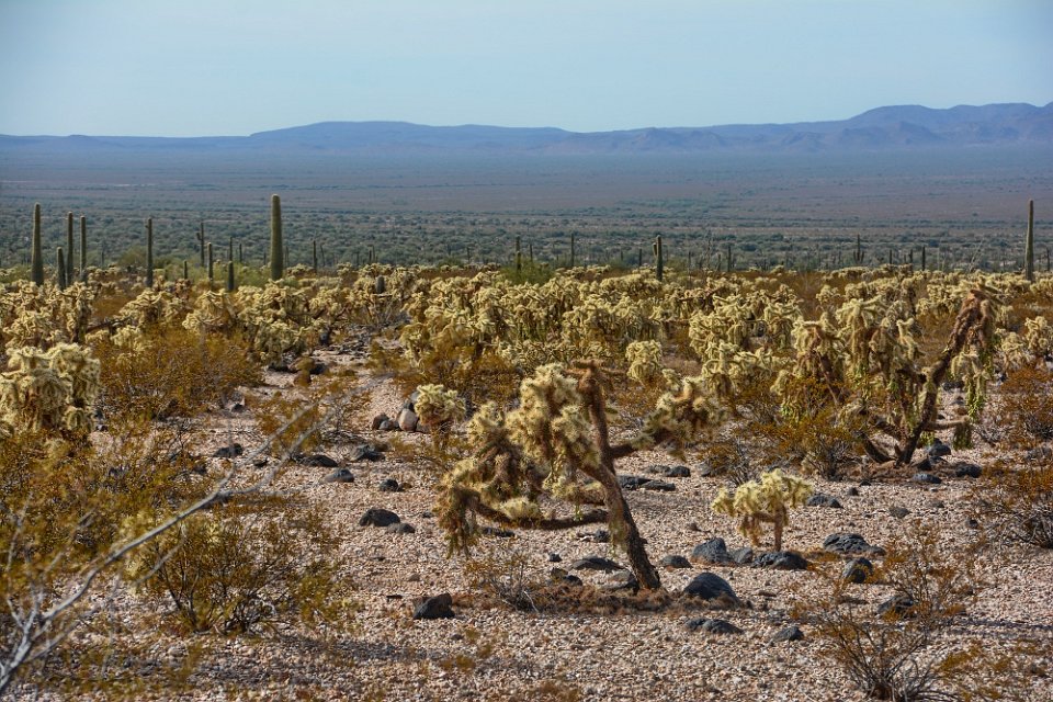
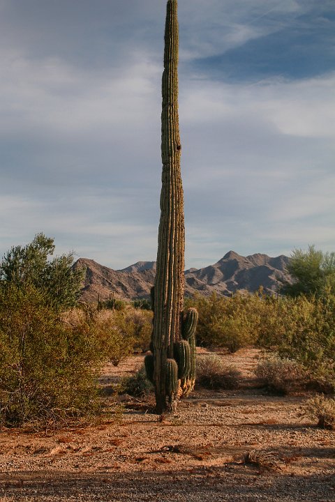
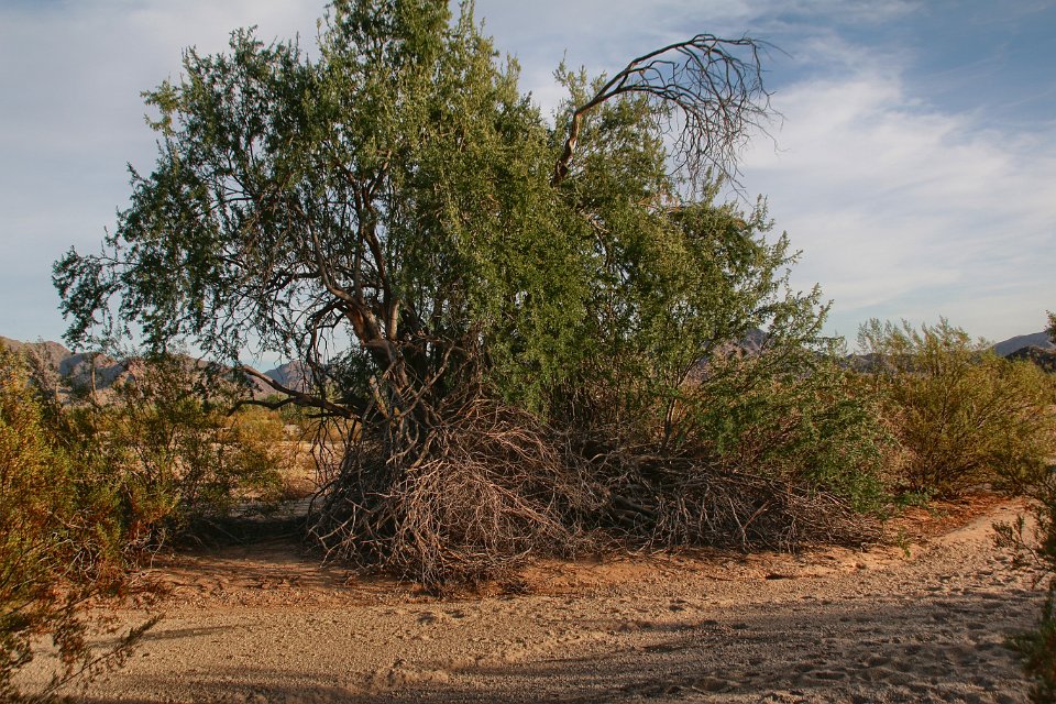
5 The desert terrain.
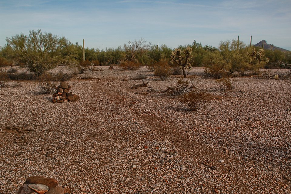
6
7 We're trying to decide what kind of animal left these tracks. We hope desert sheep. But we didn't see any.
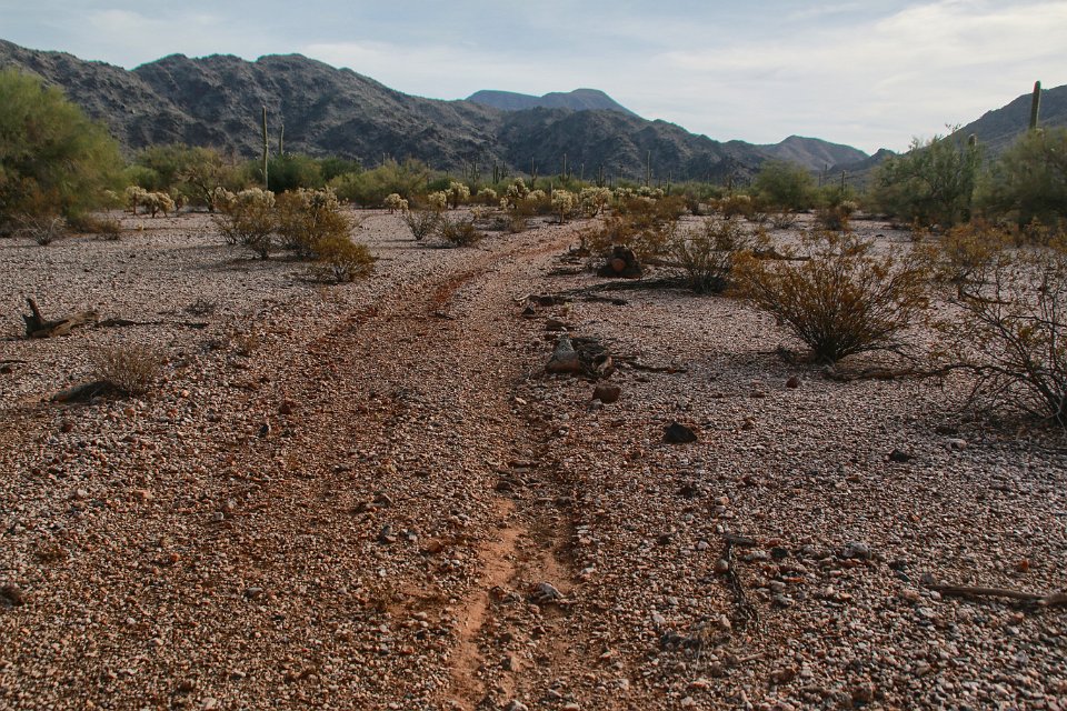
8 This is where the trail branches, the section shown here heading to the Lava Flow North Trailhead. We take this for about 2 miles, before turning around.
9
10
11
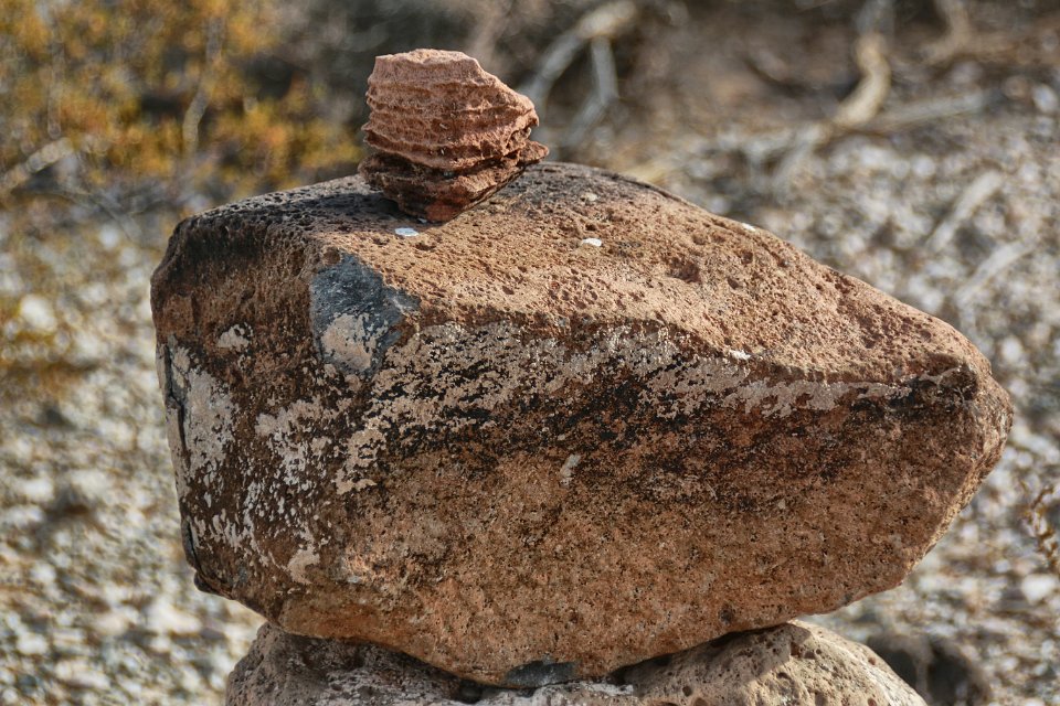
12 Desert sheep signs again?
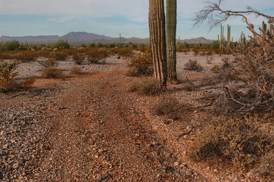
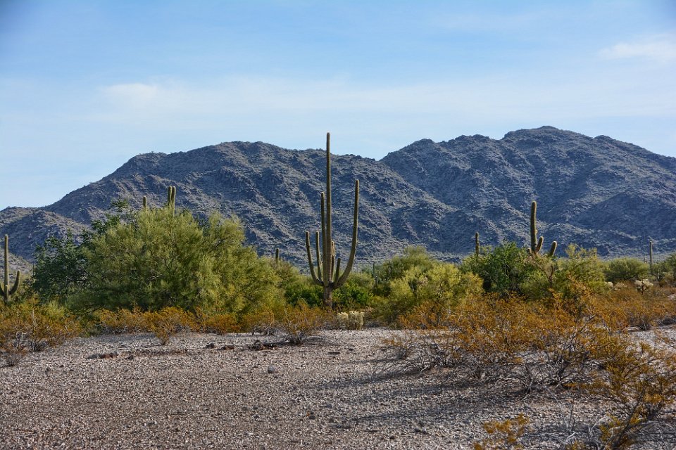
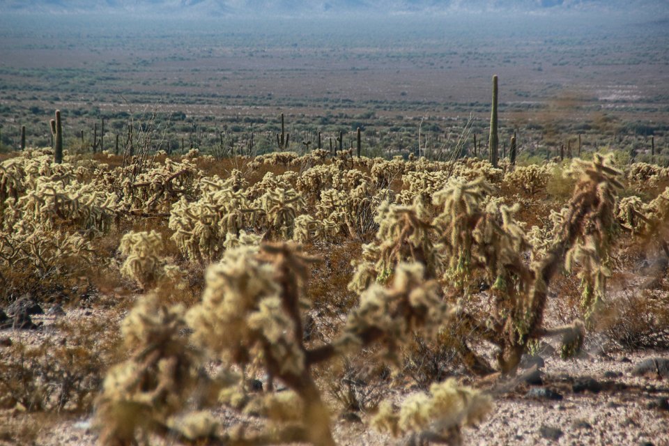
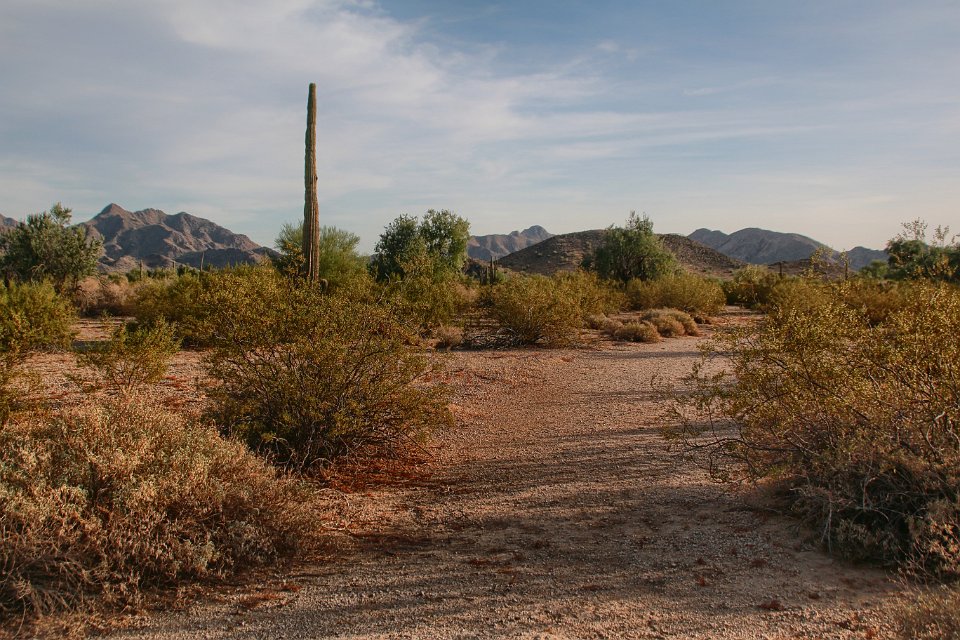
13 Through some small washes
14 The vista looking back.
15 Bob's photo
16 Bob's photo
17 Bob's photo
18 Bob's photo
19 Bob's photo
20 Bob's photo
21 Bob's photo
22 Bob's photo
23 Bob's photo
24
25
26 Bob's photo
27
28
29
30 Bob's on the way out now. Here he gets by a steep sloping hole on the left.
31
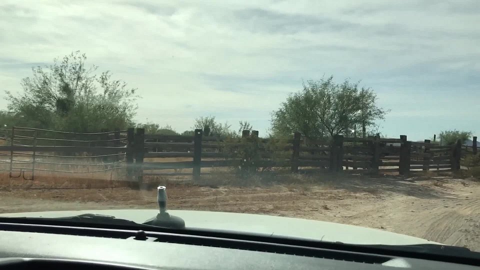
32 Bob demonstrates how to put Arizona pin stripes on the top of an Xterror. I drove down this route on the way in. So on the say out, Bob makes the stripes symmetric on both sides and the top of the Xterror.
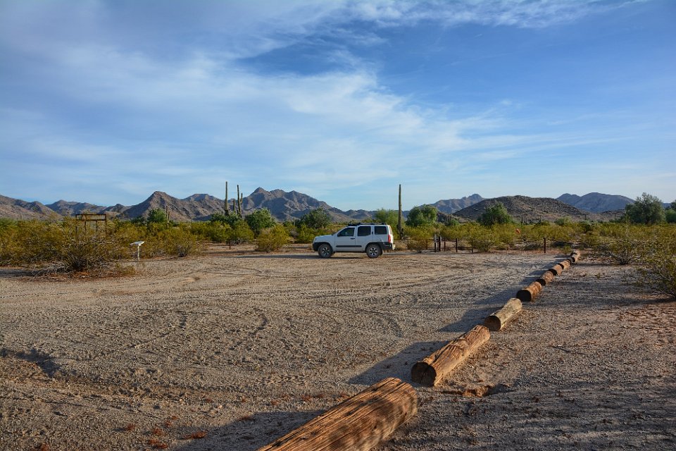
33 Out past an old corral through a DUI sensor (the open gate). Bob passed, as you can see.
34 We've arrived at the Lava Flow West TH. Head to Gila Bend for lunch: we can recomment a Mexican restaurant not to go to.
35 We then decided to head to Margies Cove Trailhead, north of Gila Bend. We weren't sure where to access it off 85, but just as we were about to give up, we stumbled upon the right road (see the blue track on the map).
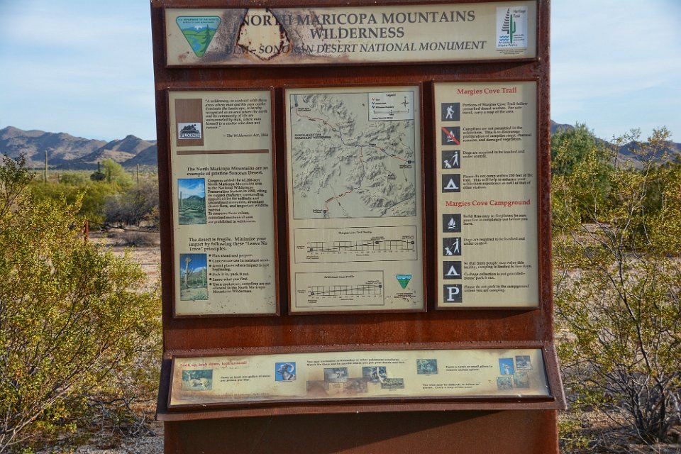
36 This is just about where we decided to give up.
37 Margies Cove West Trailhead.
38 Bob's photo
39 Bob's photo
40 Bob's photo
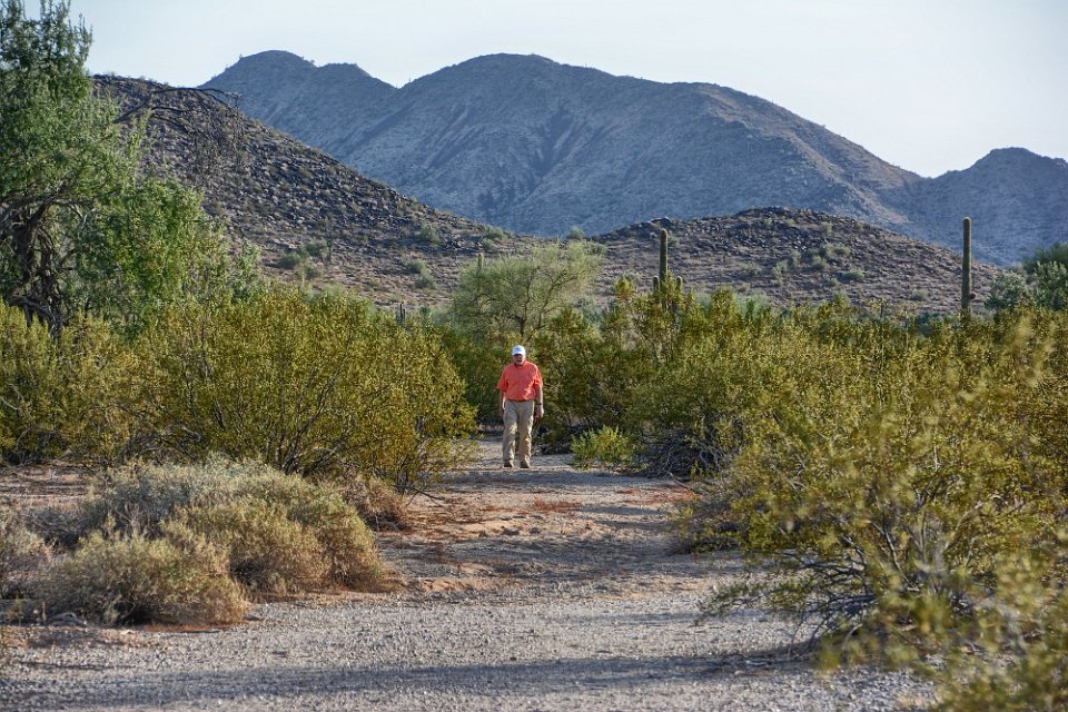
41
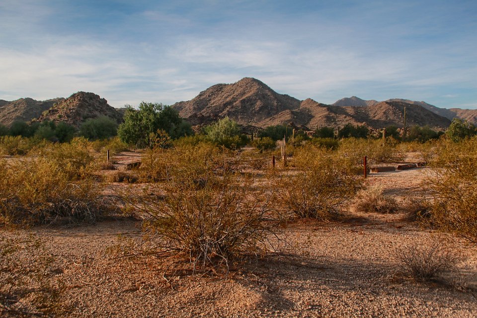
42 Don begins to explore a little of the trail out of Margies Cove Trailhead. Looks like a nice easy hike - some other day.
43 Looking back toward the trailhead
44 Bob's photo
45 Don has turned around and it headed back to the trailhead. Bob's photo