Silverbell Ghost Town and Cocoraque Butte Rock Art (March 6, 2018)
Mar 6, 2018; BobF, Don & Suzanne
With a couple of exceptions, these are all BobF's pictures. Someday Don will learn that a battery has to be in the camera, not in a charger at home.
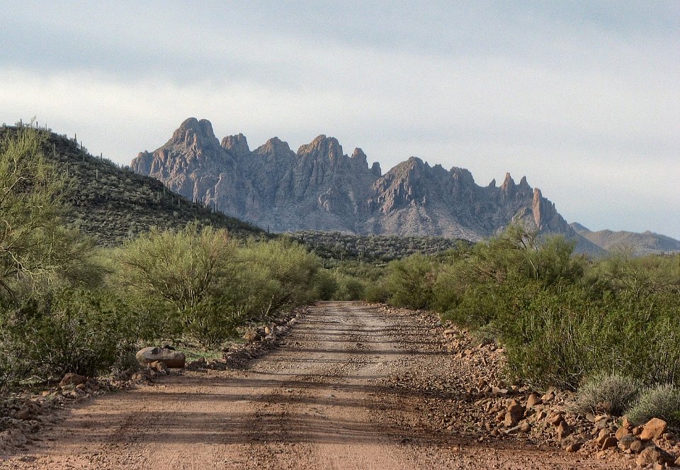
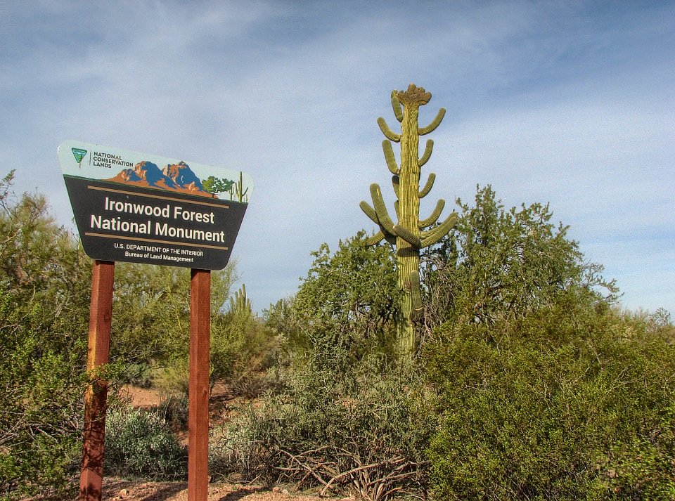
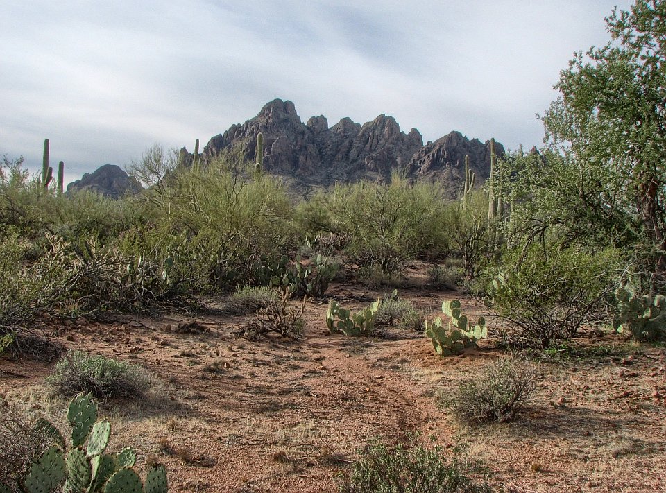
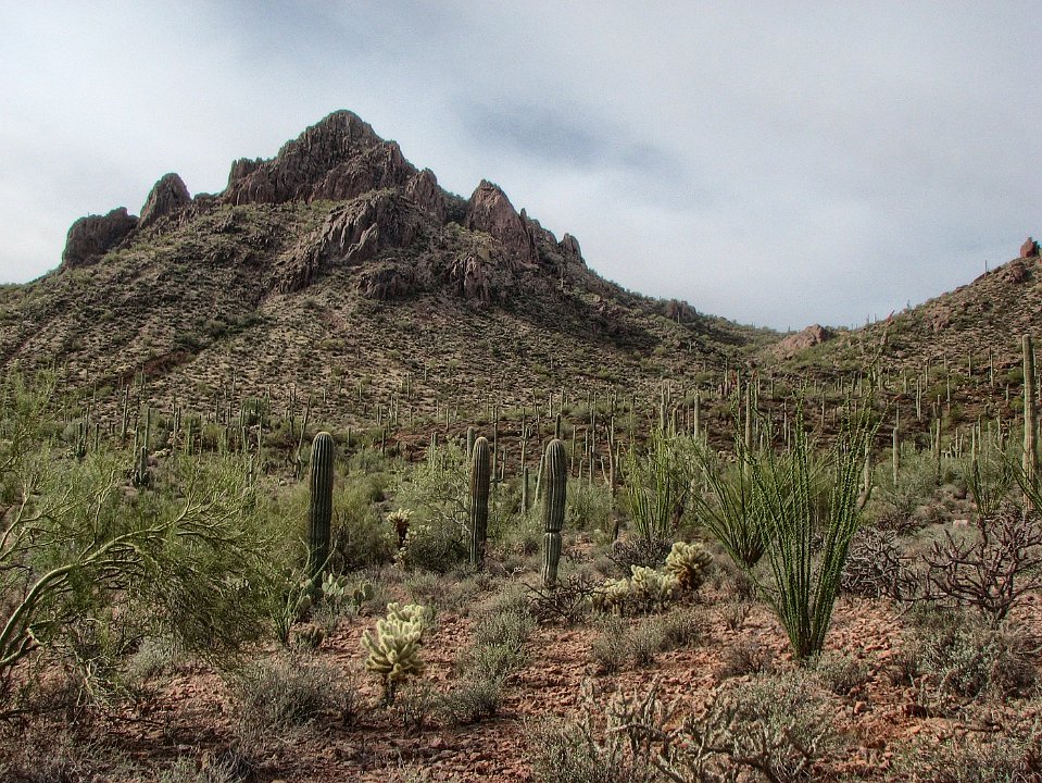
1 Ragged Top Mountain is always a welcome sight, here as we head back to the Ironwood Forest National Monument.
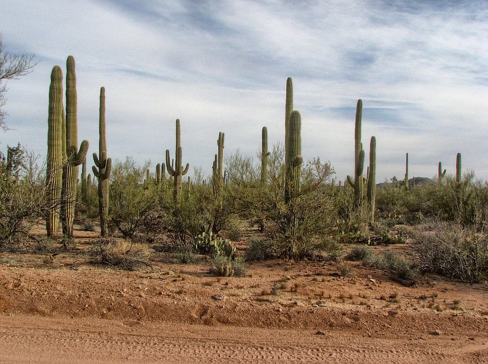
2 BobF and I just went through here the week before. How did we miss this Crested Saguaro???????
3
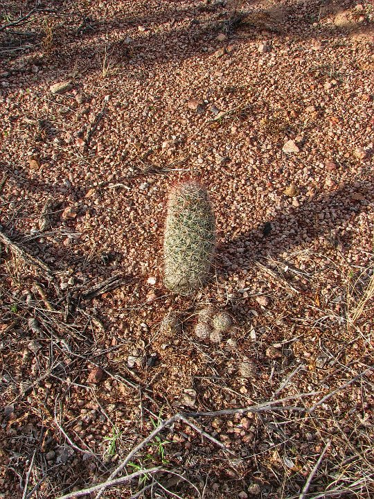
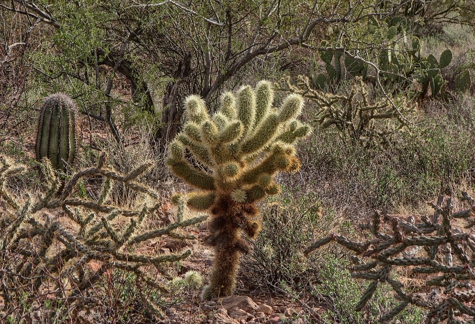
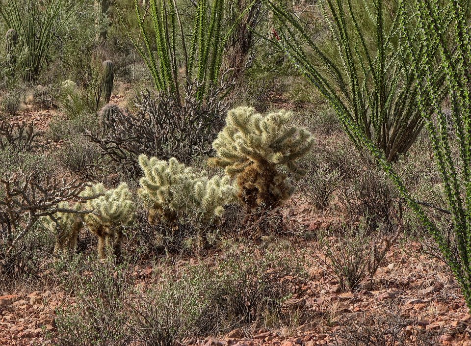
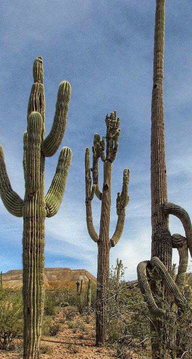
4 Big Oaks from little acorns grow..... But hedgehog cactui don't get very big
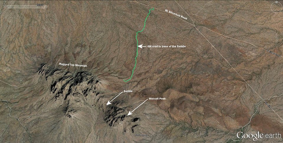
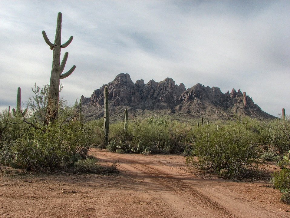
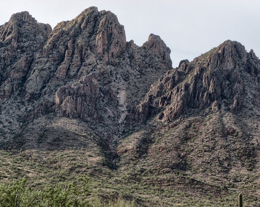
5 That series of ragged peaks is called, for some reason, Ragged Top Peak. The peak at the left is Wolcott Peak
6
7 The green track is the 4W road that leads back close to the saddle between Ragged Top and Wolcott Peak
8
9 That pass that goes up from the center of this pic and angles over to the right is how most climbers cross Ragged Top Mountain. Not our "cup of tea," because we are already "over the hill."
10
11 This is Wolcott, the mountain at the west end of Ragged Top. Hiking up and over the pass between Wolcott and Ragged Top Peak in attempt to see and photograph some desert bighorn sheep is Plan A for today.
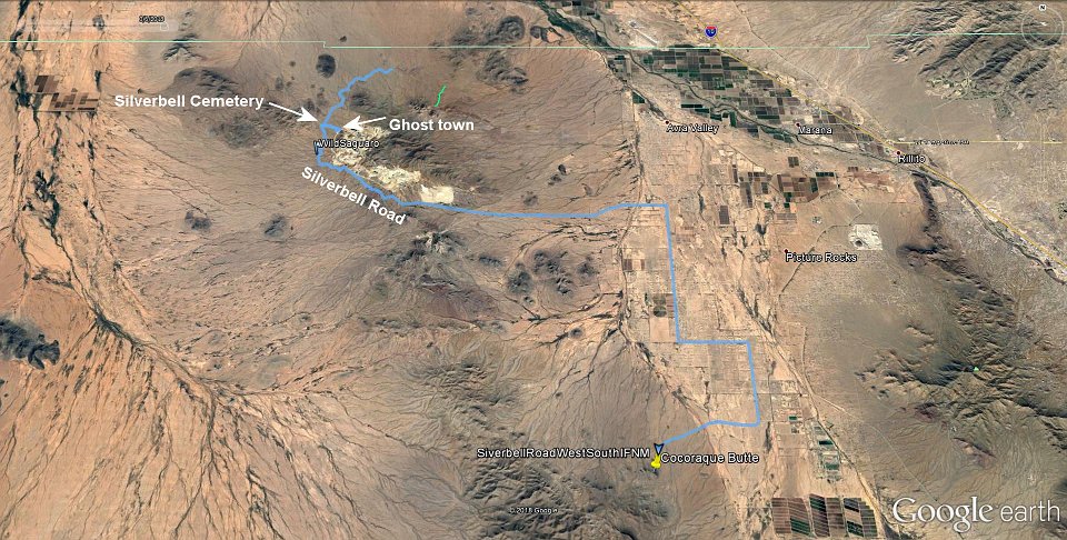
12 Oops. Time to go to plan B.
13
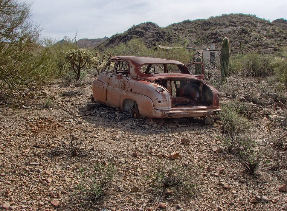
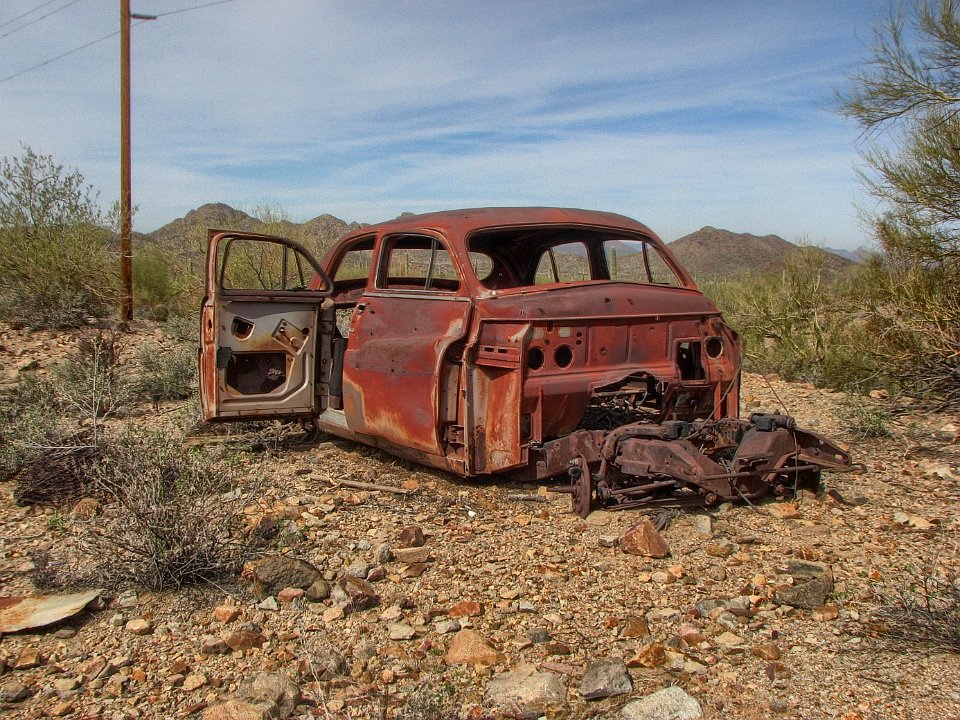
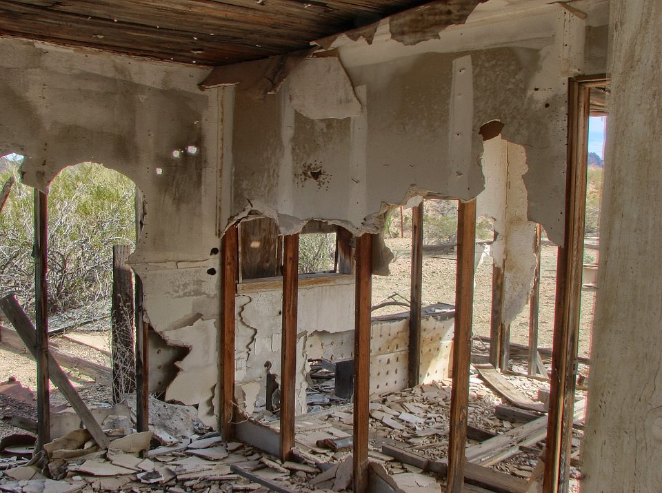
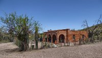
14 Our track (blue) of our drive for this exposition.
15
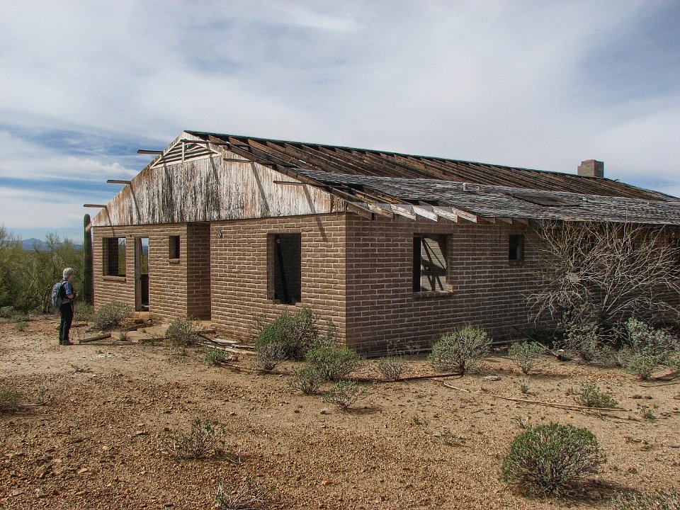
16 We find what might be the old town Silverbell although it looks younger than it should be. That's a '48 to '50 Hudson. Looks in really good shape ;-) .
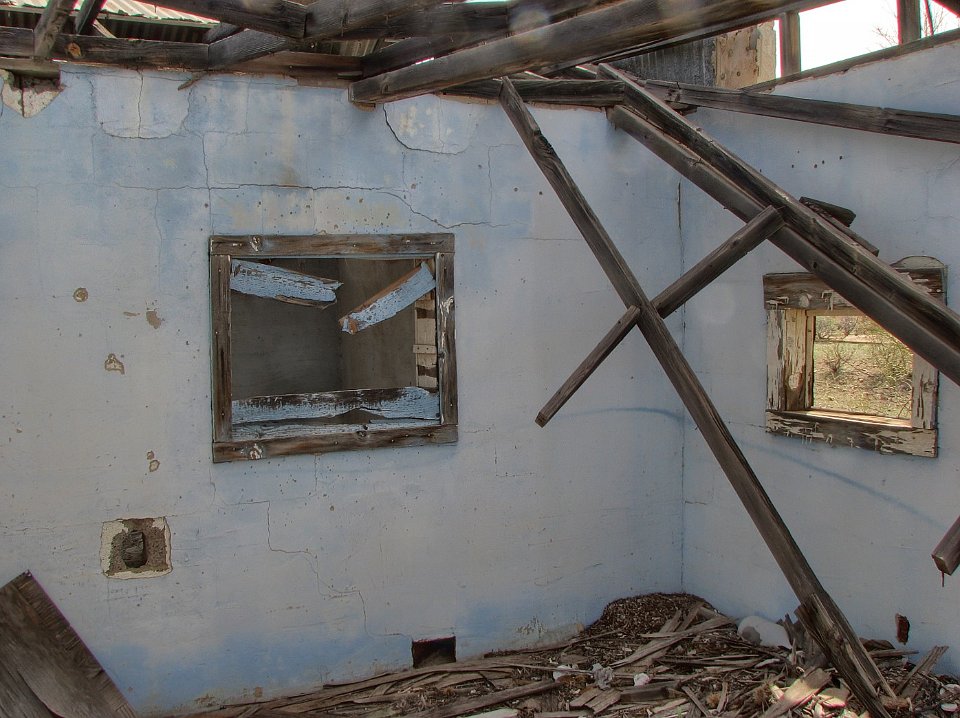
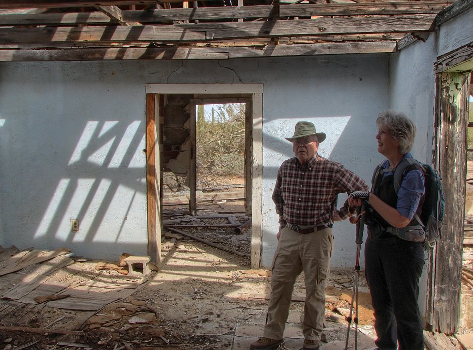
17 OK, so it is missing the front clip. Guess we won't take it home to restore.
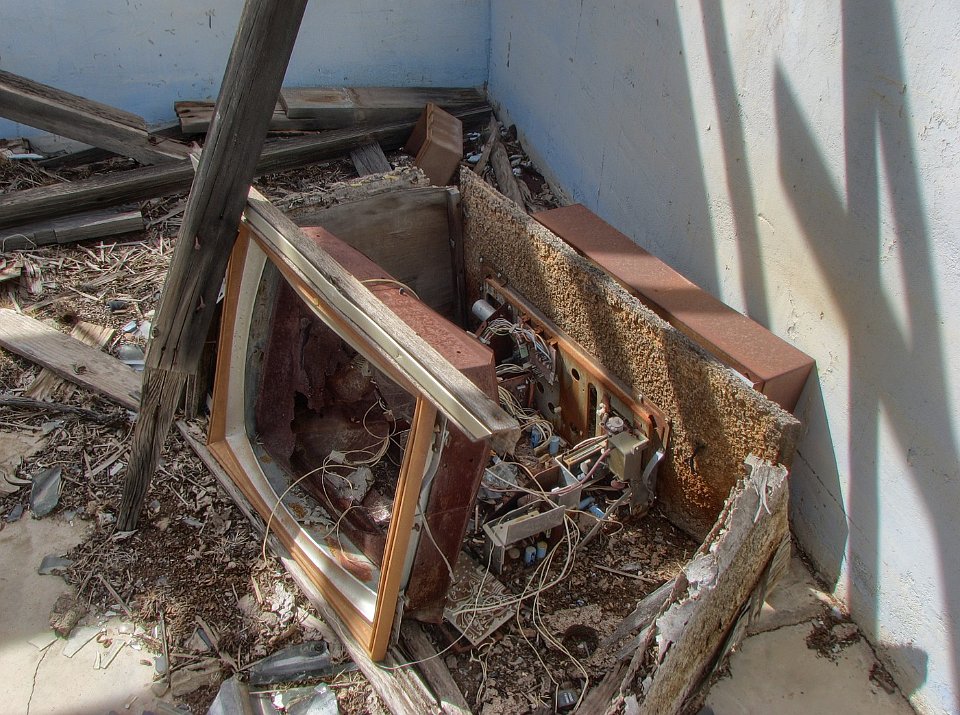
18 A real fixer-upper
19 Yep. Too new to be the original mining town of Silverbell. But maybe it was built over the old town?
20
21
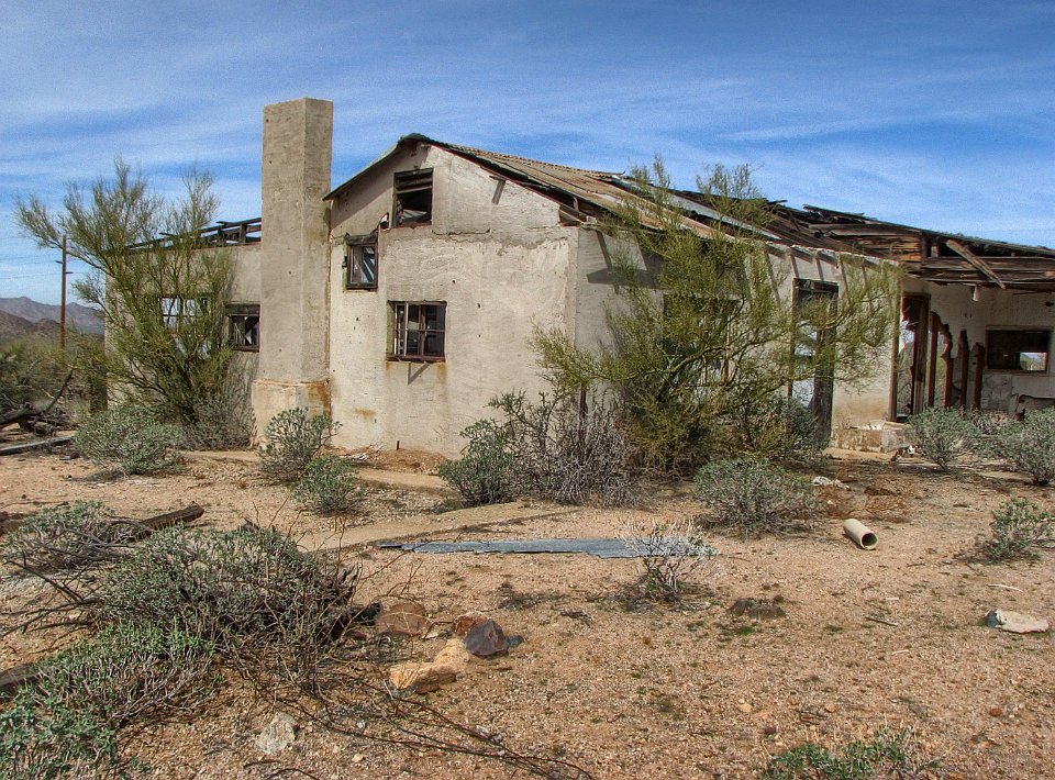
22
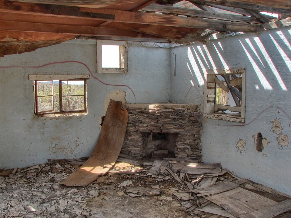
23
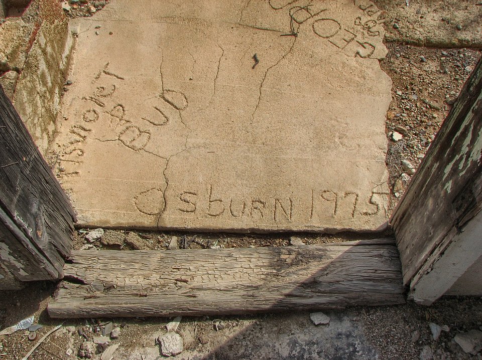
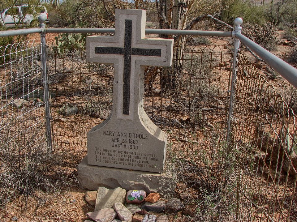
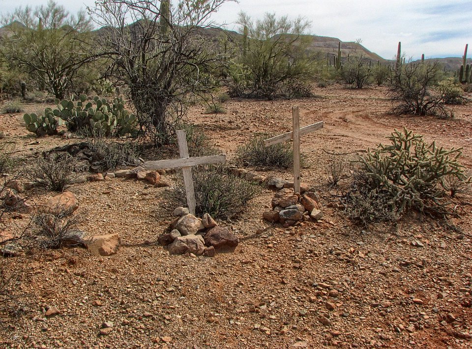
24 A "shady" salesman trying to sell Suzanne this fixer-upper for her retirement.
25 Another building nearby. This one looked like a hotel or boarding house.
26 So we hiked back to the Xterror and drove to the old Silverbell Cemetery.
27 This was the only grave that had any markings on it - and the only one to have been maintained with some TLC.
28 Some graves have wooden crosses as headstones. Many more have only rock outlines or mounds.
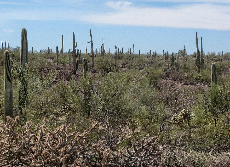
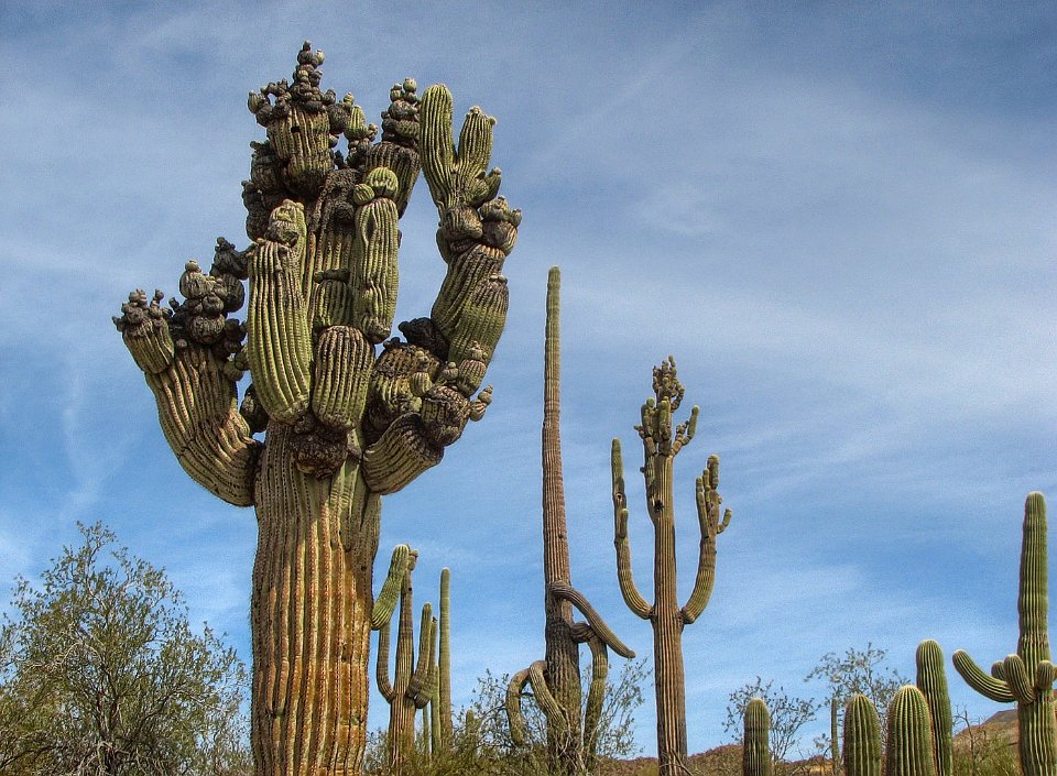
29
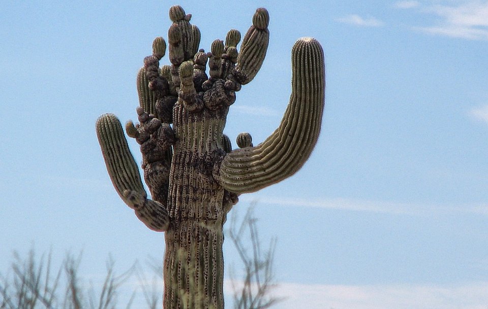
30
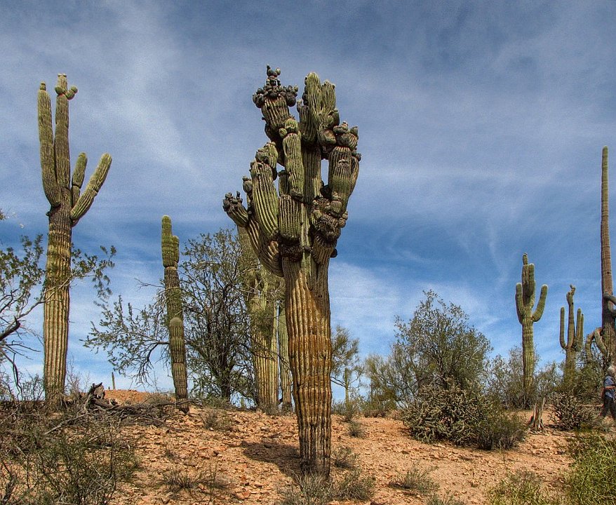
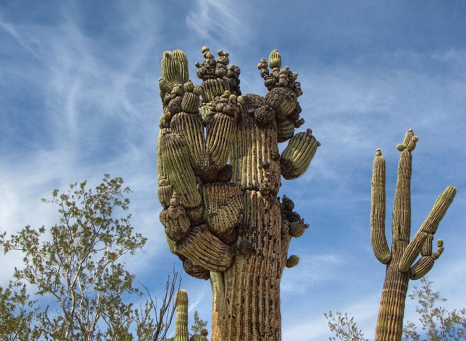
31 A little further down the road, we take note of some stange "deformed" saguaros.
32 We find a cluster of Saguaros that all have similar deformatives. It is only Saguaros in this area.
33 Ugh! There is a real problem here. Is it a virus, a DNA problem, or a result of environment contamination in this area? The latter cause seems unlikely, since these cacti grow very slowly. Saguaros typically take 70 to 100 years to develop their first "arm." What would account for all the nodules on all the arms. It is a mystery to us.
34
35
36
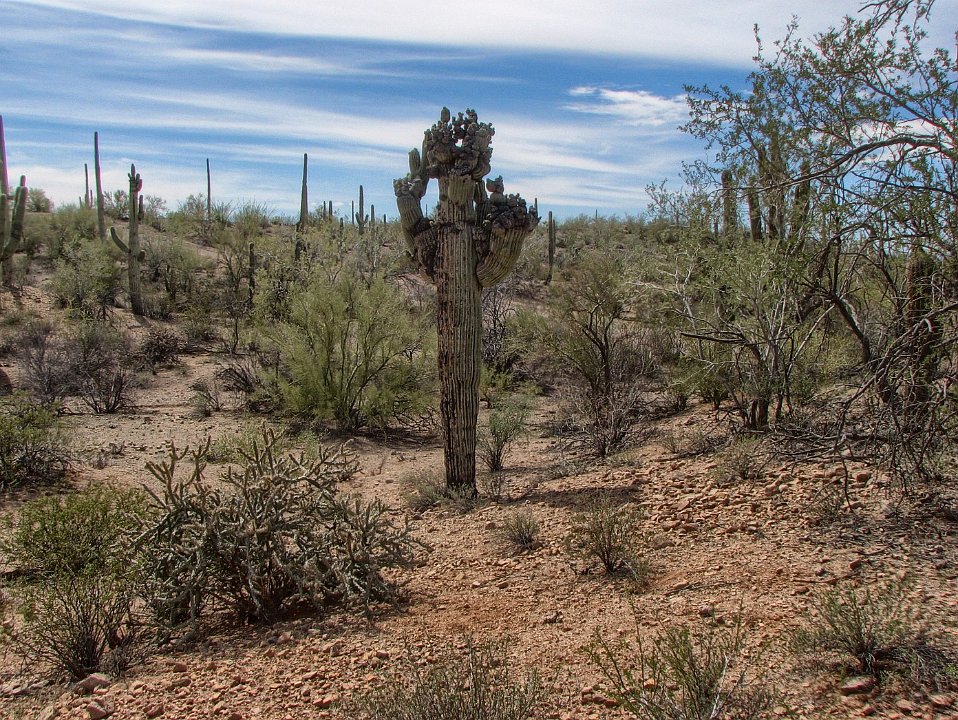
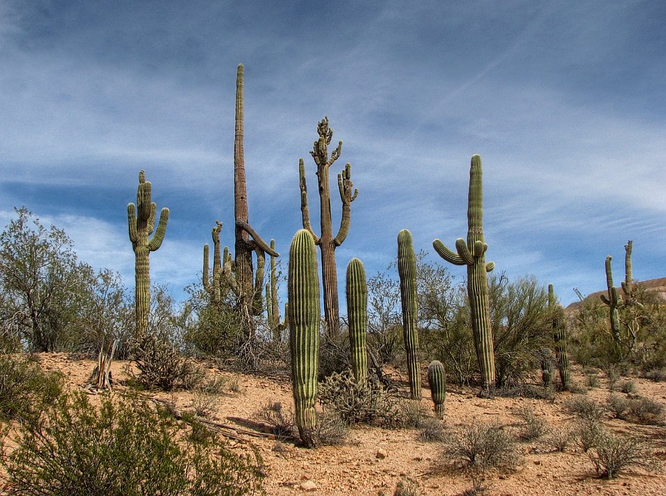
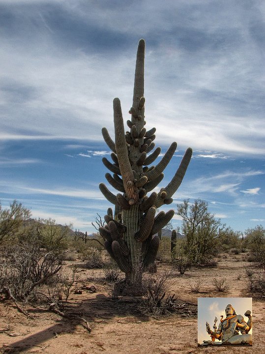
37
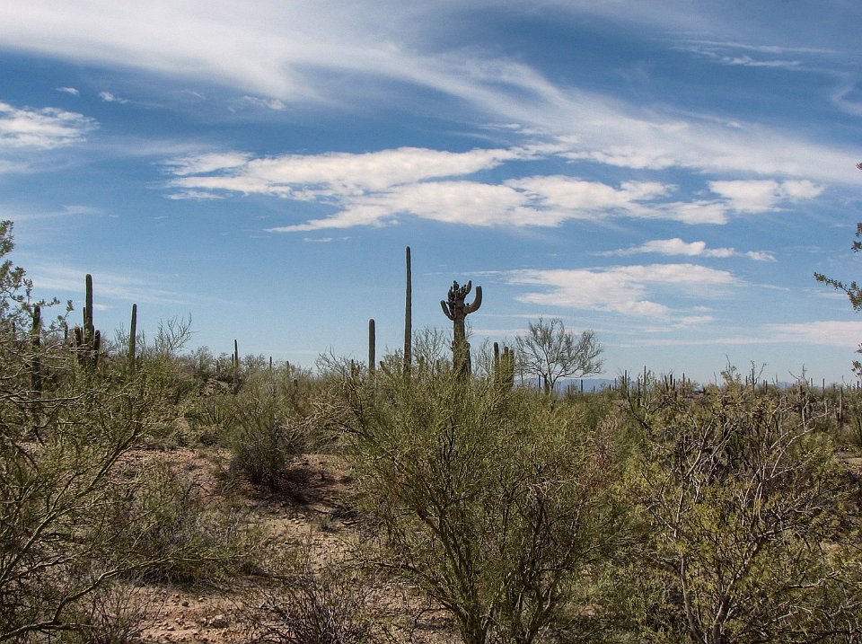
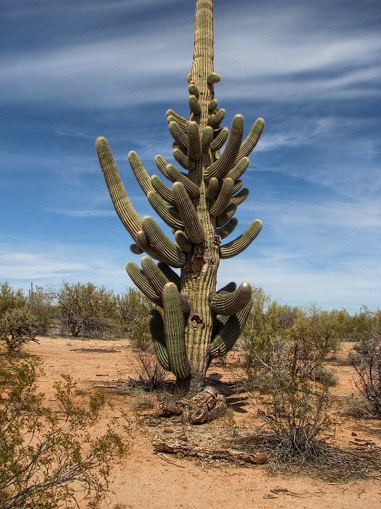
38 So with these questions we take one last picture and continue our drive on southeast on Silverbell Road.
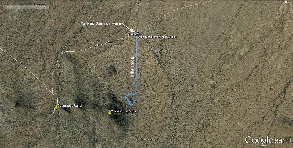
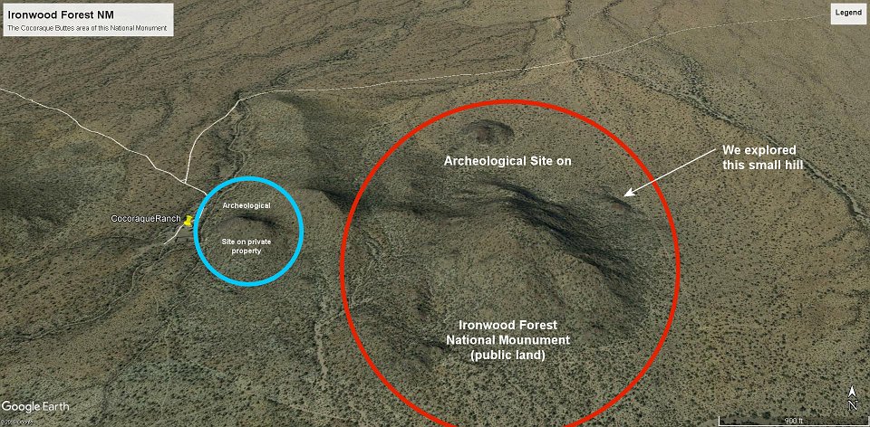
39 A little piece down the road, Suzanne spotted this Saguaro (?) and yelled "Stop, stop, stop!." Glad we did. What is it? In periodic newsletters from the "Friends of Ironwood National Monument" this cactus is referred to as the "Shiva" Saguaro. I could find no subspecies of Saguaro called Shiva Saguaro. But Wikipedia provided a clue as to where this name came from: "Shiva (/ˈʃivə/; =Sanskrit: शिव, IAST: Śiva, lit. the auspicious one) is one of the principal deities of Hinduism. He is the Supreme Being within Shaivism, one of the major traditions within contemporary Hinduism." I have provided a picture of the deity "Shiva" as an inset. It seems reasonalbe that the person who labeled it was familiar with Hinduism and made the clever association.
40 This is the sunny side of the previous cactus, not another "Shiva" cactus. In fact, the three of us have never seen another one like it, ever (although that doesn't mean there isn't another one somewhere on the planet - or another planet).
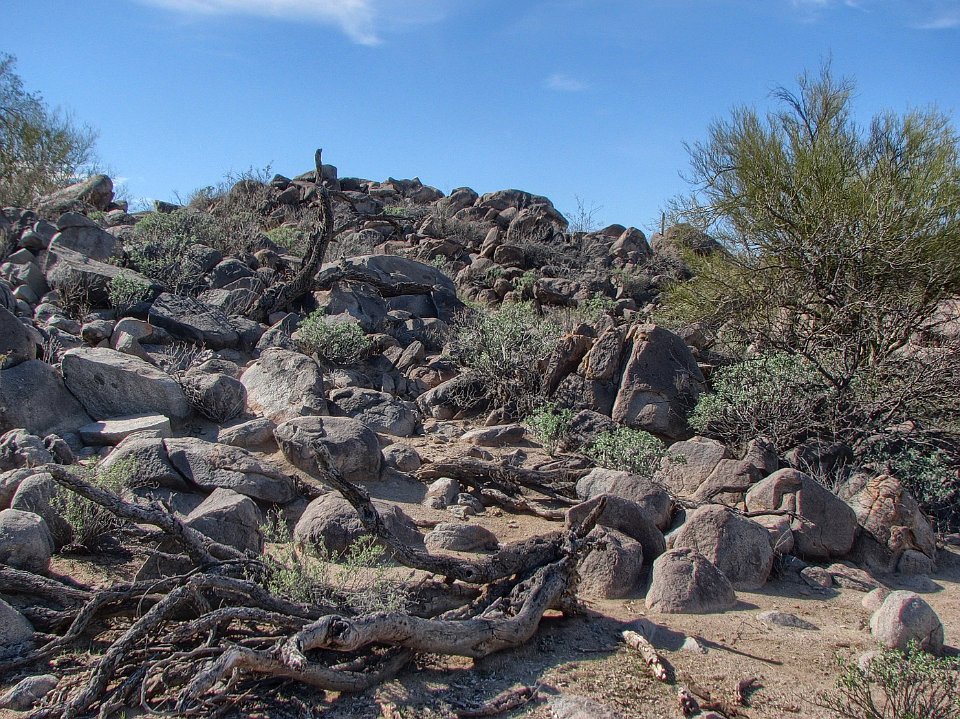
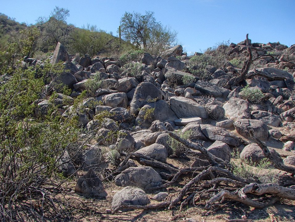
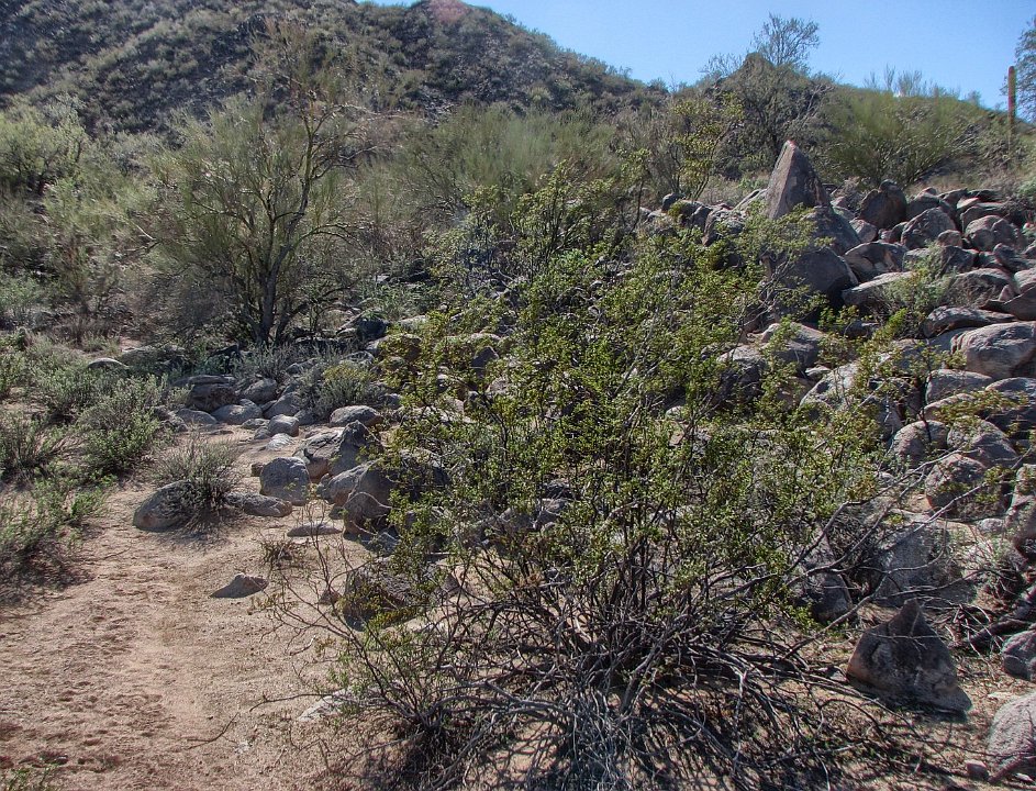
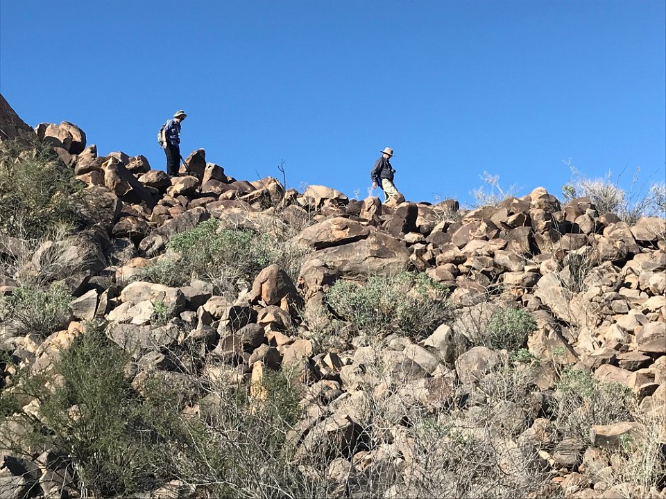
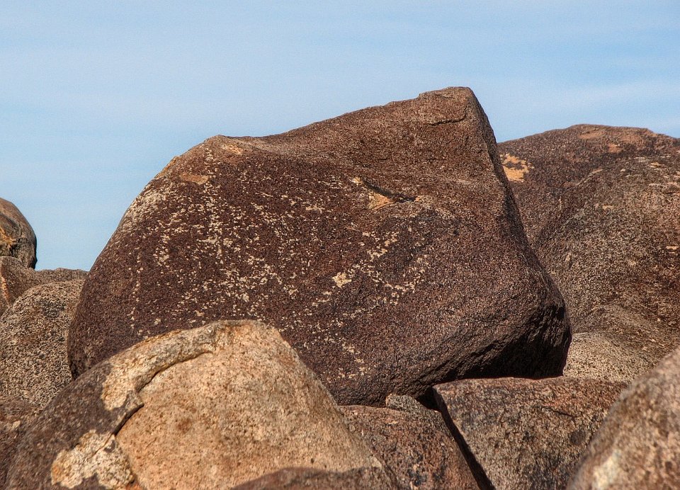
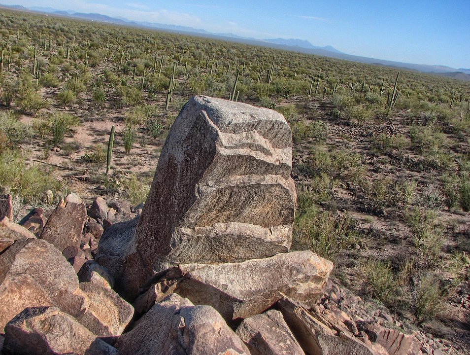
41 We soon left Silverbell Road and worked our way south to find the trailhead for Cocoraque Butte where we had heard that there were lots of petroglyphs, probably scratched/pecked by the early ancestors of the Tohono O'odham aboriginal people (TO means "desert people") who have lived here for centuries, possilby millinnia.
42 No doubt we'll return to explore the larger hills in the public area. Also, we're signed up for a tour of the private archeological site on the Cocoraque Ranch if we can arrange our schedules to fit the sponsor's date. We found after our outing that a multi-year inventory of the petroglyphs at the whole site (public and private) catalogued over 11,000 petroglyphs, spanning the time from a few (3 to 5) thousand years ago to about the 18th century. That covers the abriginal people of the Sonoran Desert from the ancient ancestors of the Hohokams, through the Hohokams into their present day descendants, the Tohono O'odam Native Americans.
43 Although the buttes look smooth on GoogleEarth, they are a boulder-strewn, ankle twisting terrain. We climed all over the first small hill we came to on our expedition. Turns out, the best of the "glyphs" are on the two largest hills or "buttes" that make up Cocoraque Buttes.
44 That's one of the larger hills in the background.
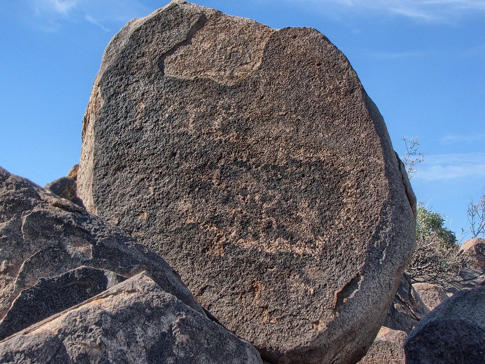
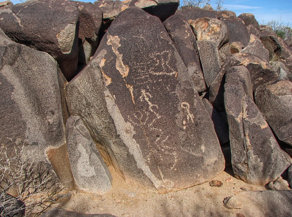
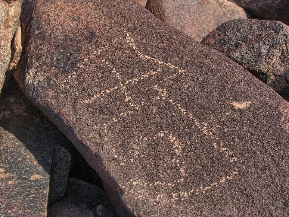
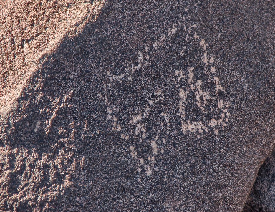
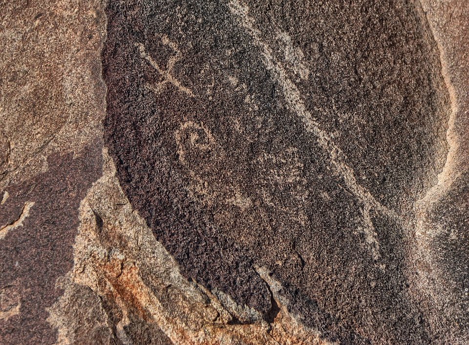
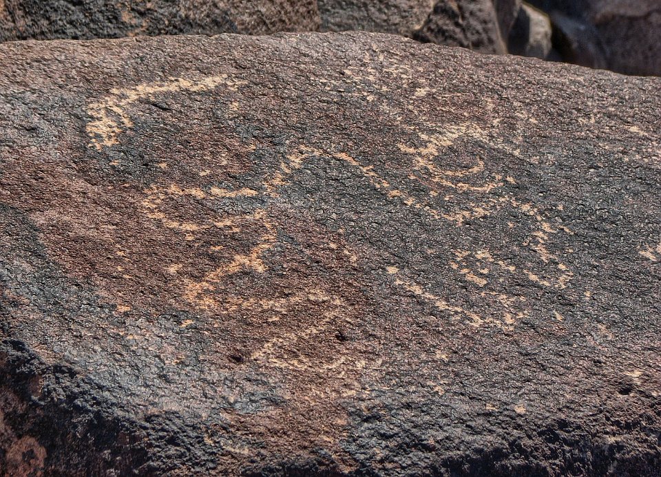
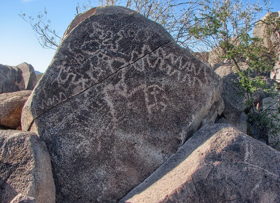
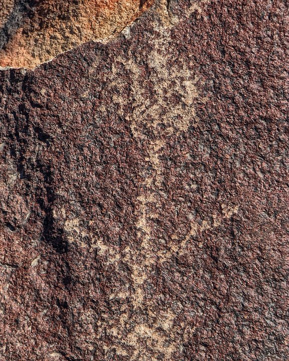
45
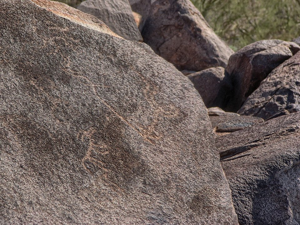
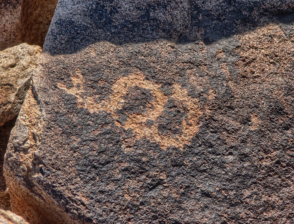
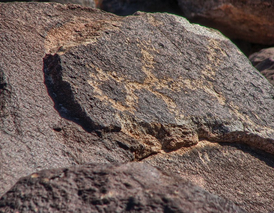
46 This is tricky footing.
47 Some "glyphs" are rather weathered. The more "weathered" they look, the older they are generally.
48 Sometimes it is hard to tell if there is a legitimate petroglyph.
49
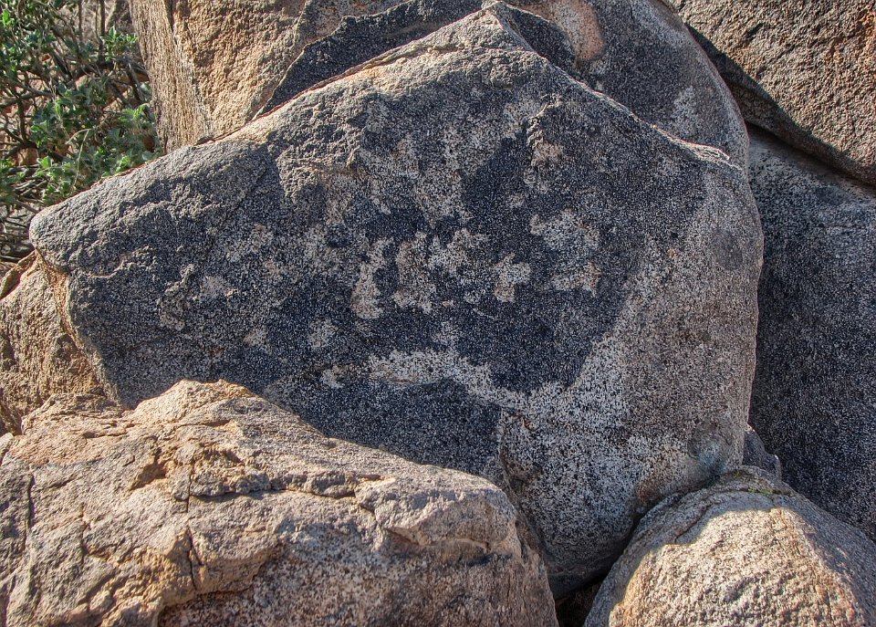
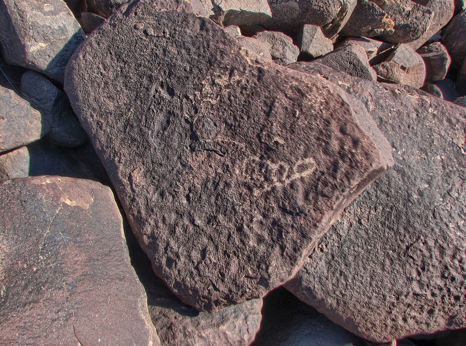
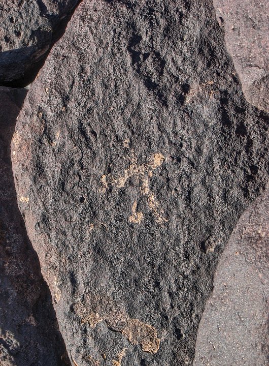
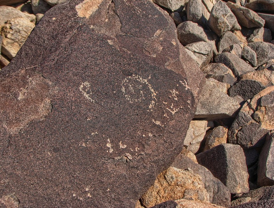
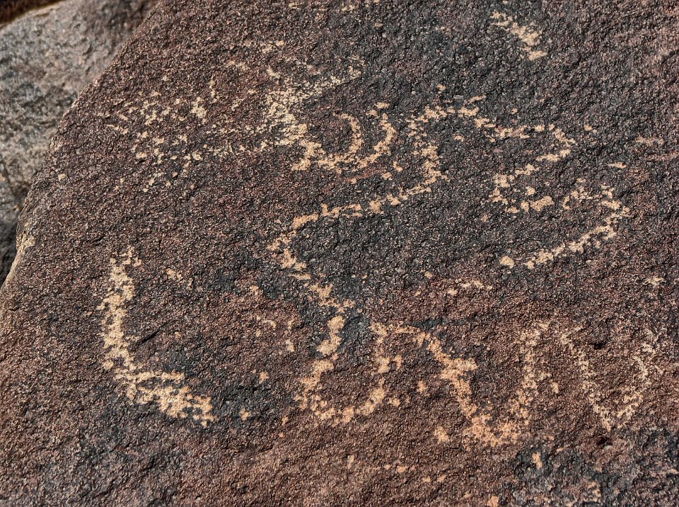
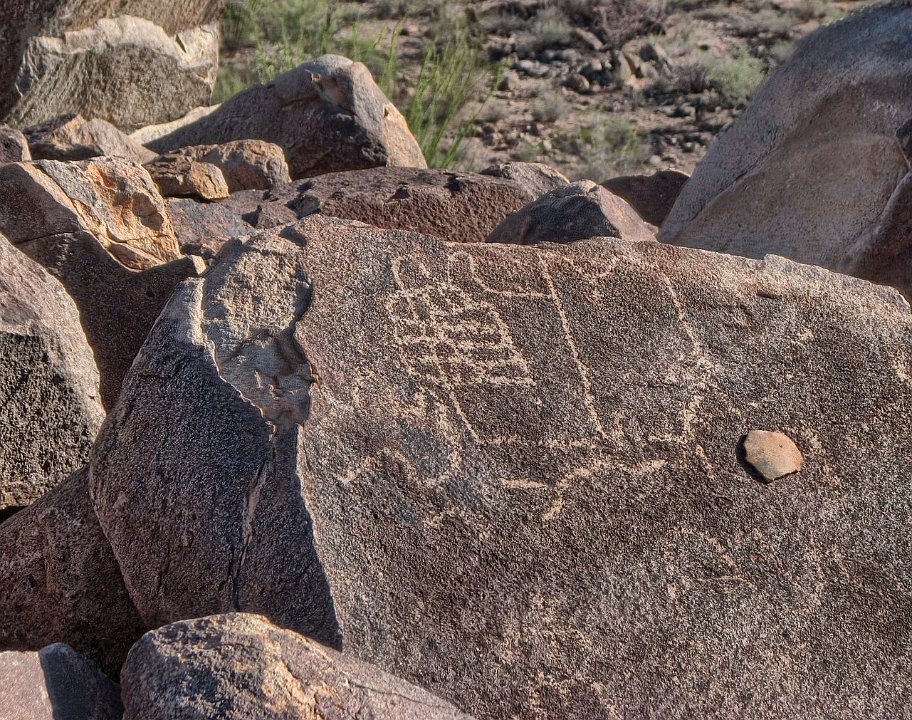
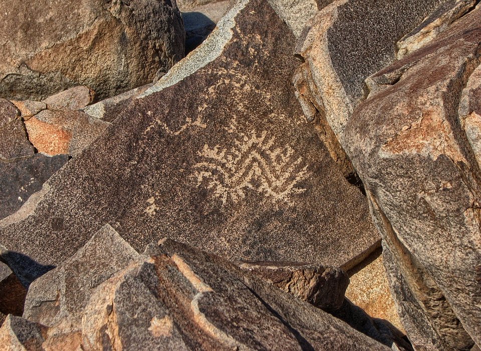
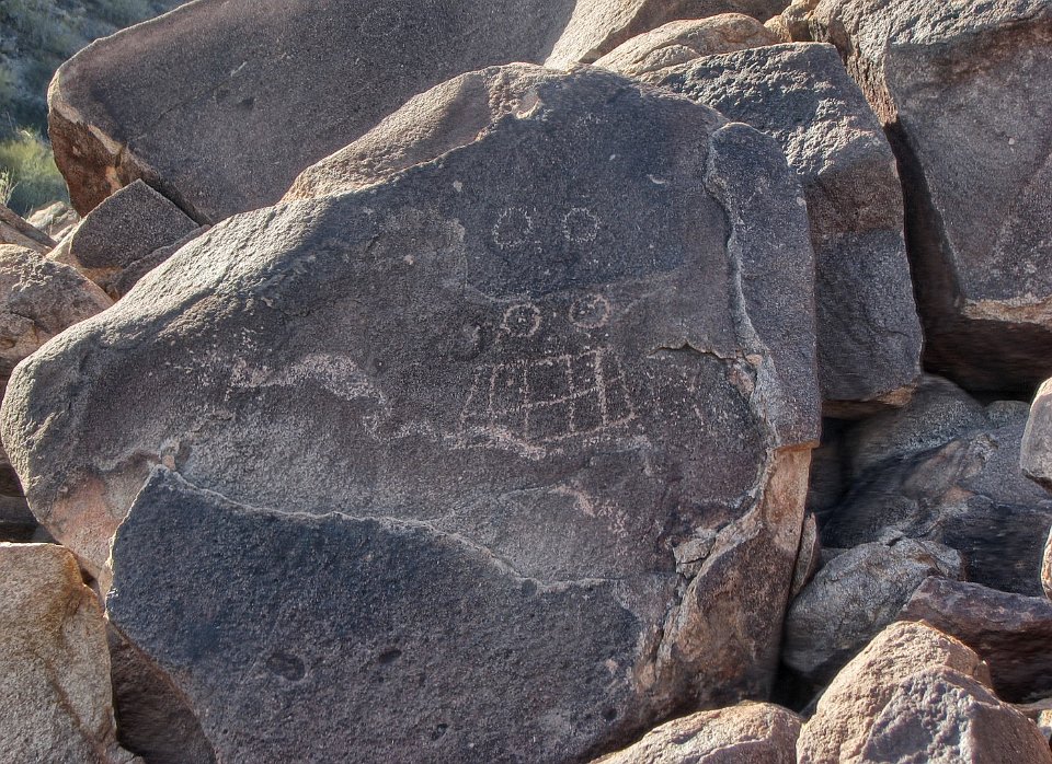
50
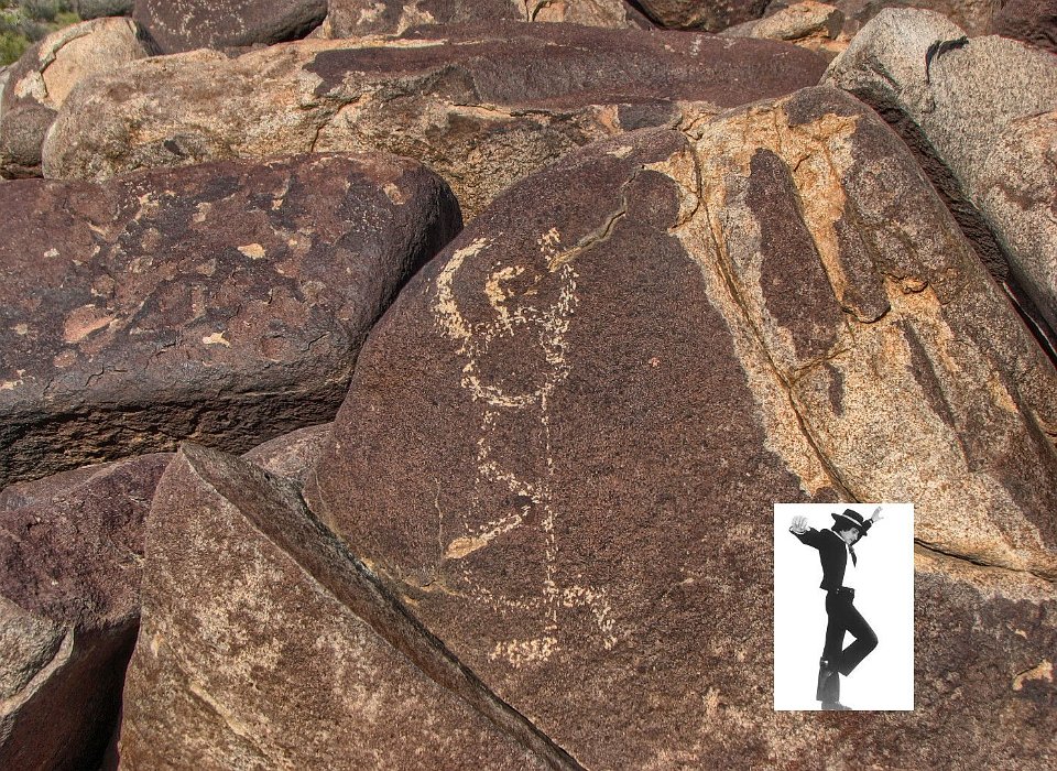
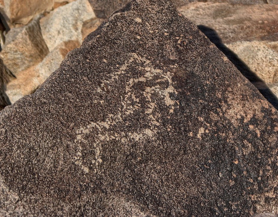
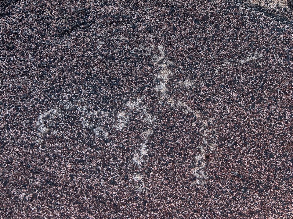
51 Hmmm!
52 Many are really clear
53 Suzanne thought this one resembled a Flamenco dancer (inset). Good eye, Suzanne. But they people who made these petroglyphs had no knowledge of Flamenco dancing.
54
55
56
57
58
59
60
61
62
63
64
65
66
67
68
69
70
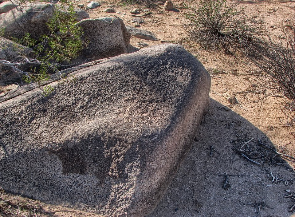
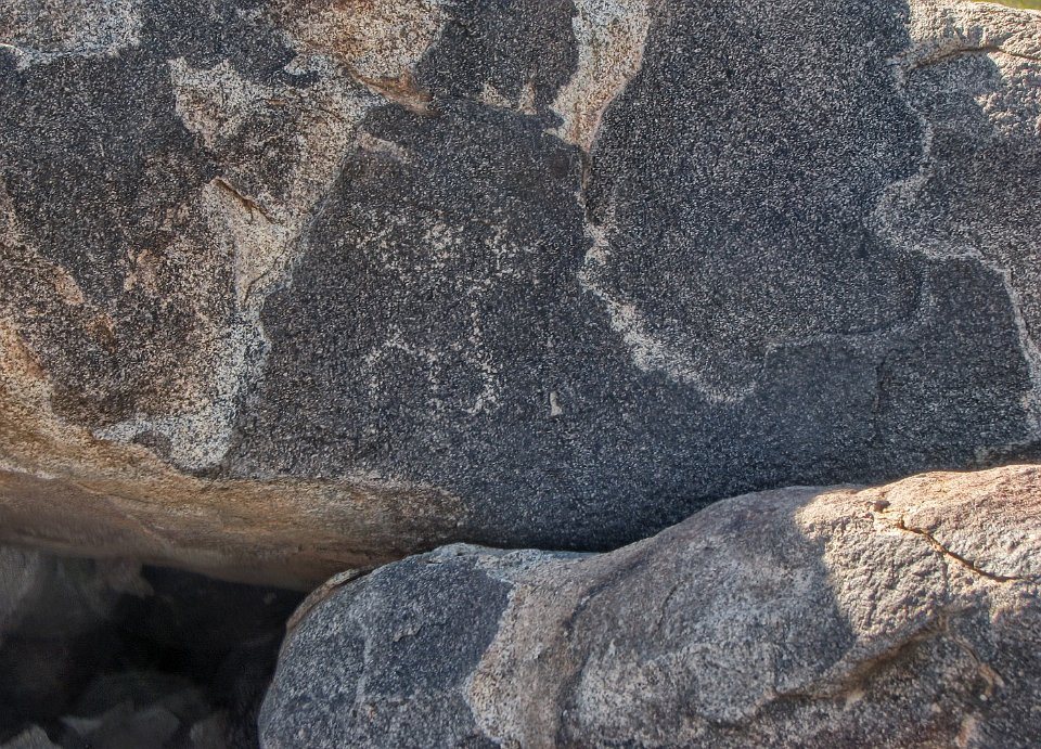
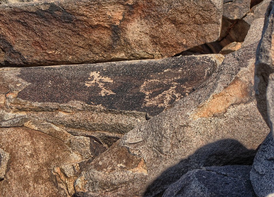
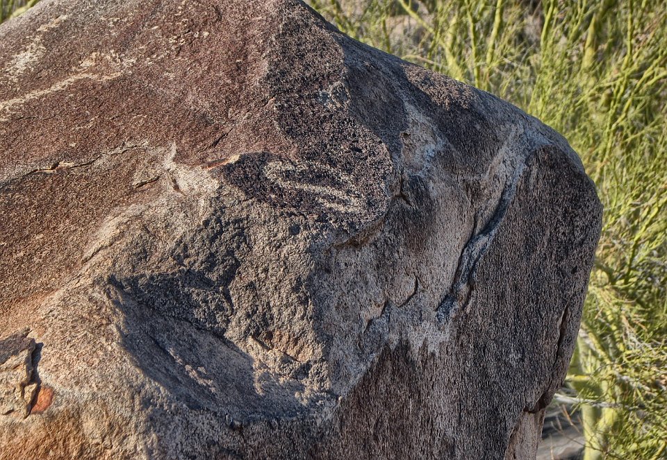
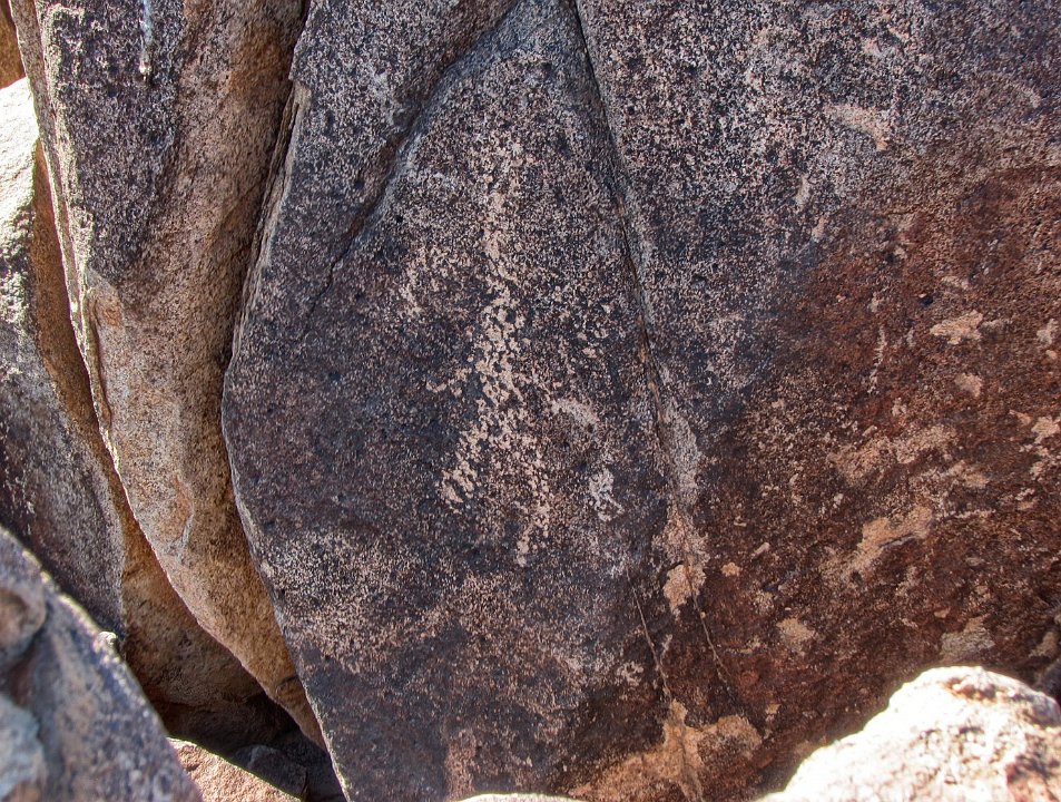
71
72
73 No petroglyphs here, but it is an interesting veined rock.
74
75
76
77 Must be the newspaper with all the news that is fit to print.
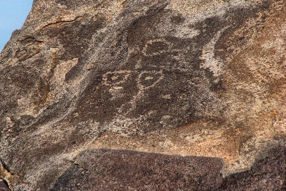
78
79
80 Early version of checkers?
81
82 With this final picture, we head back to the Xterror and a drive back to Phoenix.